Latest g3 Cartography Release Includes More than 1 Million Updates
New v2021.5 g3 Cartography Offers the Latest Data and Expanded Coverage
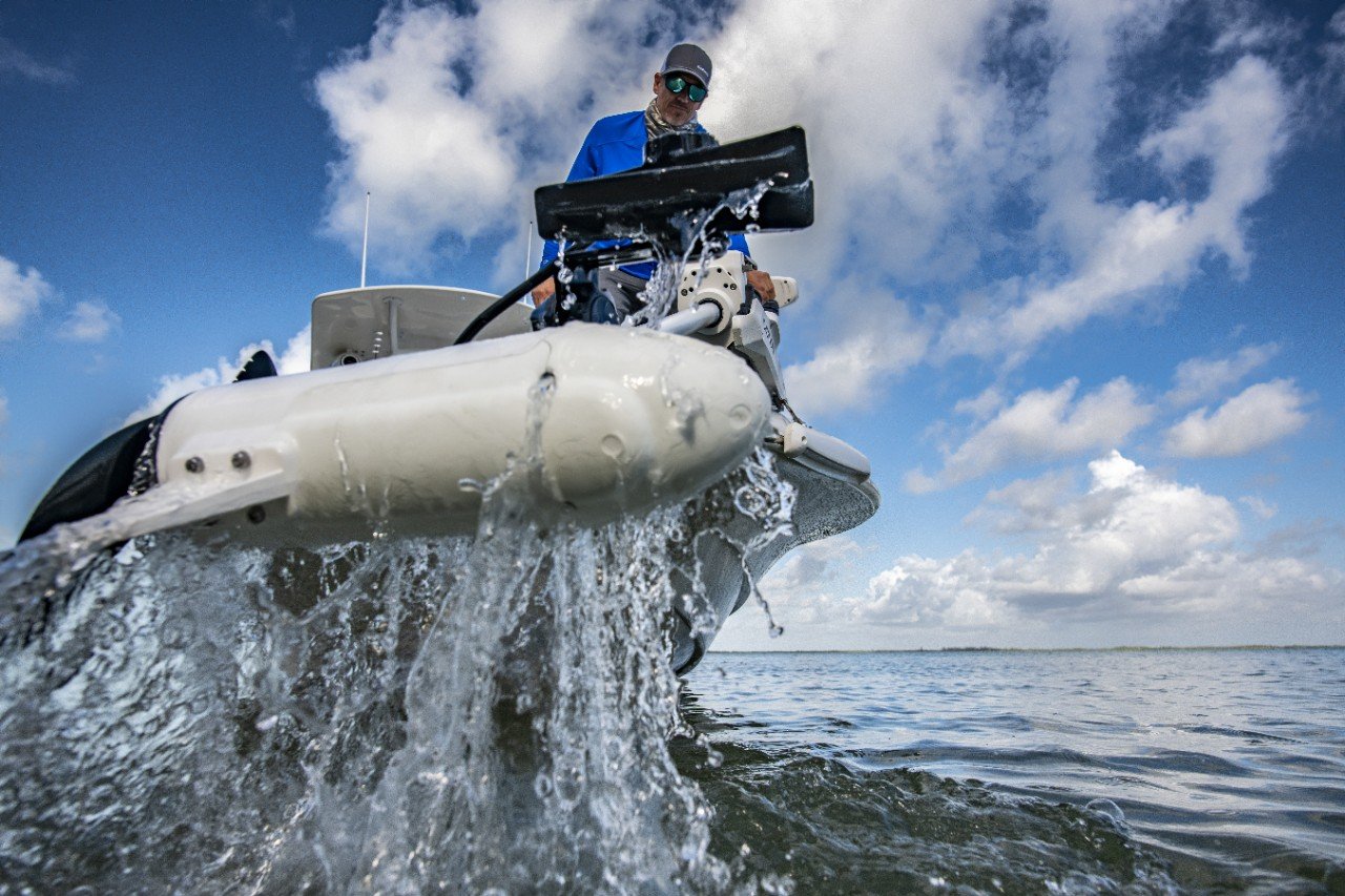
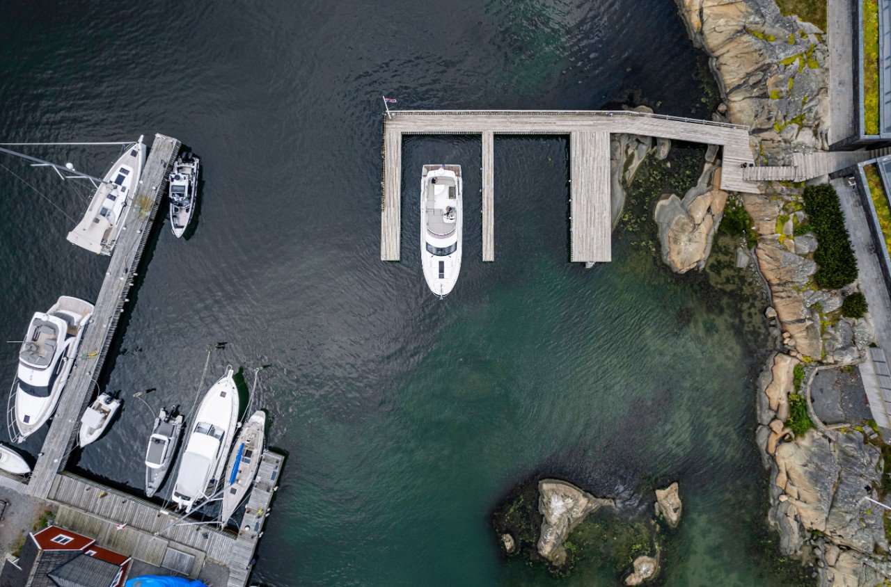
Situational awareness when boating should be as much of a priority as finding the best fishing spot or place to drop anchor for the day. When it comes to navigation, situational awareness suggests that you have a keen understanding of the conditions around you and how those conditions could affect your vessel. To put it plainly, it means that you are being a safe and responsible boater.
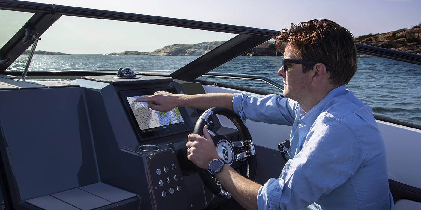
One of the most valuable onboard tools for enhancing situational awareness is the No. 1 mapping1 you’ll find in Garmin chartplotters. However, just like updating phones and other electronics, your marine charts need updates so they can perform at their best — and so can you. With the most up-to-date marine charts as your guide, you can drastically boost your sense of the surroundings, especially when navigating unfamiliar waters.
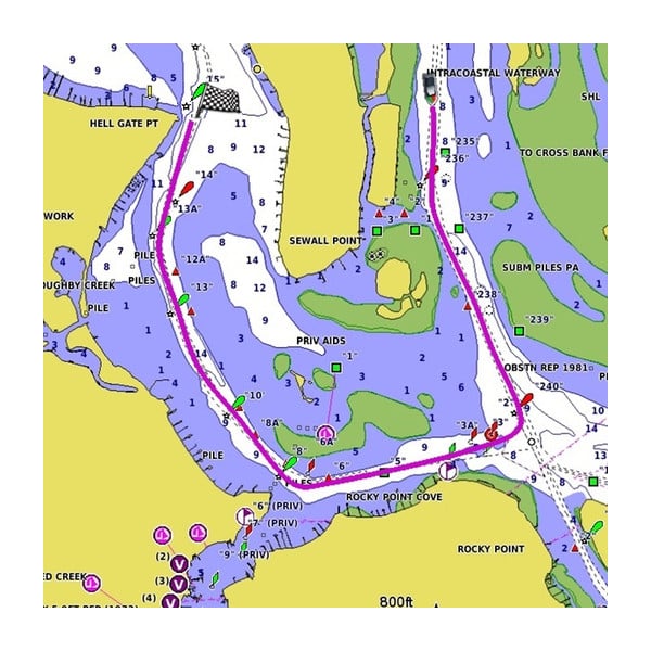
Chart updates provide important information regarding changes to the shorelines and water depths, or where new on-water navigation aids — like beacons and buoys — might have cropped up since you last took your boat out. These are just a few examples of the changes that may be camouflaged on an outdated marine chart. While there are several unforeseen events that could affect your navigation, don’t let an out-of-date marine chart be one of them.
What’s New for g3 Cartography
The latest g3 cartography release, v2021.5, includes 1,098,477 updates to global chart content, relief shading coverage, NOAA rasters and more for BlueChart® g3 coastal charts and LakeVü g3 inland maps. With the advantage of No. 1 mapping coverage, premium chart content2 and access to the exclusive ActiveCaptain® Community, v2021.5 delivers the reliable information that you need to quickly locate a promising fishing spot or plan an efficient (and safe) route to your next waypoint.
In addition to major updates for thousands of existing lakes, v2021.5 adds new survey data for lake-goers around the world, including regions in the U.S., South Africa, Poland and more. In the U.S., both LakeVü g3 and LakeVü g3 Ultra card users can explore 5 new survey lakes plus the Ohio River, and LakeVü g3 Ultra users will gain access to 12 new or updated sonar imagery lakes.
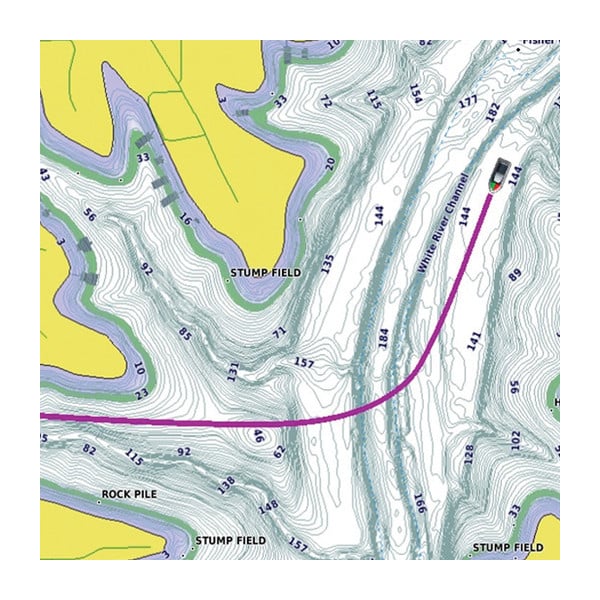
This release also features expanded coverage and striking improvements to high-resolution relief shading for a more clear, detailed look at the ocean floor or lake bottom. Relief shading — a preloaded feature for BlueChart® g3 Vision and LakeVü g3 Ultra — uses a blend of color and shadow to create an easy-to-interpret, multidimensional view of the terrain below so you can more intuitively track down fish-holding structure, artificial reefs, unique diving locations and more.
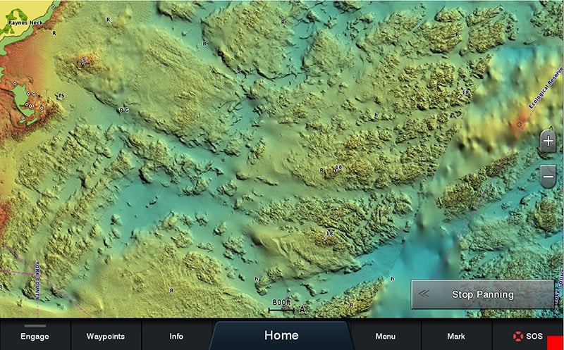
The release of v2021.5 cartography reveals striking detail and coverage updates for high-resolution relief shading and more.
From changing tides to destructive storms, the waters we love to cruise, sail or fish are frequently changing, which means that up-to-date charts are crucial for making smarter decisions and improving situational awareness. As you search for the next place to plot your paradise, be sure to download v2021.5 for your Garmin chart cards via the ActiveCaptain® app or Garmin Express™.
From April 1 to April 30, you’ll be eligible for a $50 rebate when you buy select BlueChart g3 and LakeVü g3 chart cards.
1Based on 2020 sales reports
2Premium overlays and features are available via upgrade to BlueChart g3 Vision and LakeVü g3 Ultra