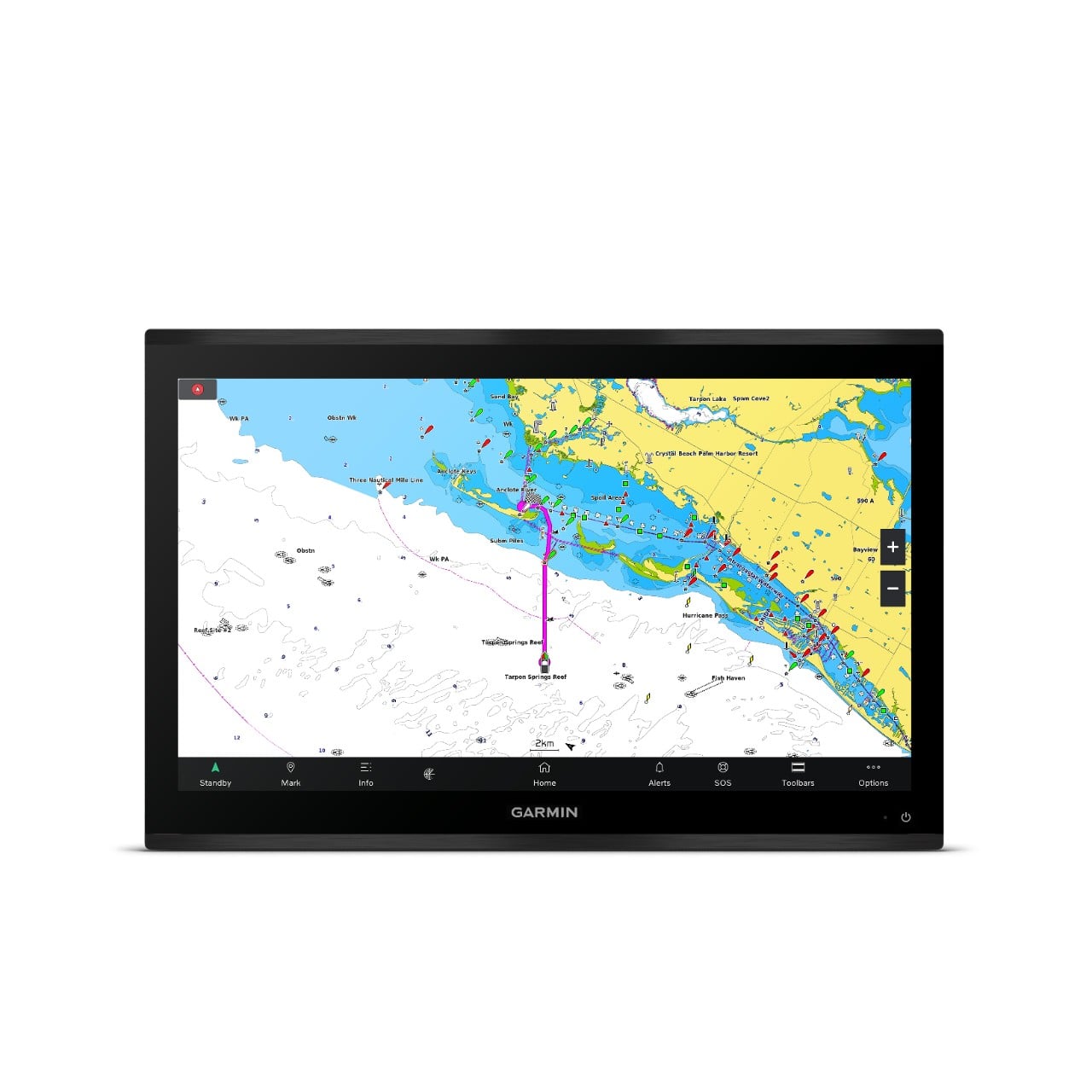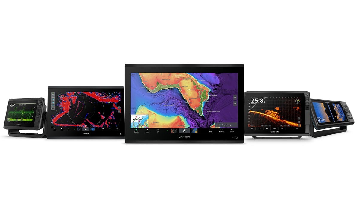
Garmin Marine Mapping You Can Count on Moving Forward
The 2023 data is in.
No one does marine mapping better than Garmin and Navionics. With both brands being prevalent in the marine mapping space for many years, we know a thing or two about charts and the industry at large to help boaters, anglers and sailors do what they love on the water.
A strong reputation starts with results, including reporting more than 4 million chart updates in 2023. That’s right — more than 4 million lake additions, marina plans and coastline changes.
Plus, continuous improvement and expansion of high-resolution relief shading coverage and so much more.
What’s new?
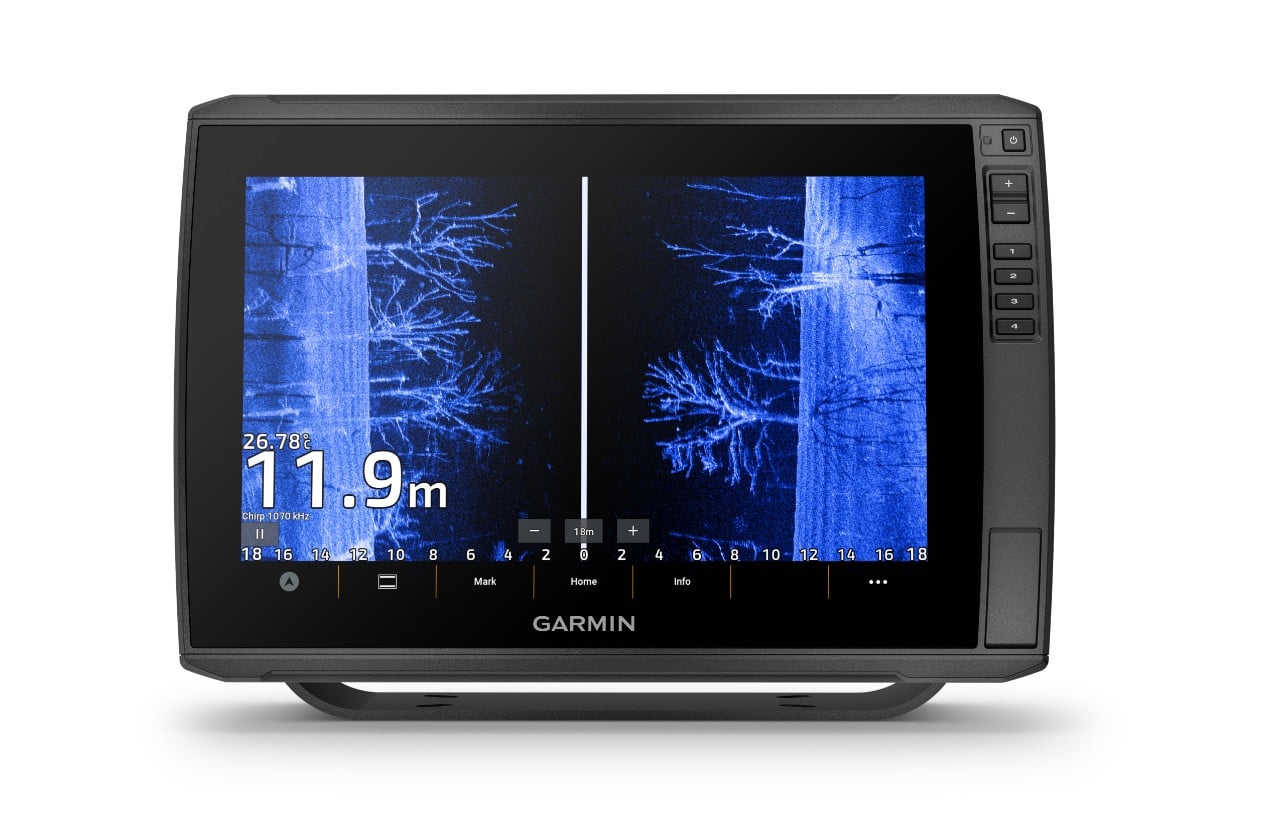
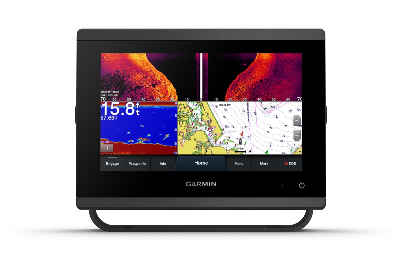
Fishing chart updates: What sets our fishing charts apart? The integration of crowdsourced sonar data as well as official data and surveys to help provide more detail wherever people are on the water. We processed approximately 4.3 million sonar logs that were integrated into fishing charts and maps of Garmin chartplotters, and SonarChart maps for third-party chartplotters.
Relief shading: We’re constantly updating our relief shading for the best views possible for lakes and coastal waters across the globe. In 2023, utilizing official sources, our own surveys and crowdsourced data, we extended a total of 850,000 square miles in relief shading coverage worldwide.
Other notable updates include:
• There were 14,300-plus Notice to Mariner updates worldwide
• Almost 660 new official paper charts were integrated
• More than 157,000 miles of coastline updates were incorporated worldwide
• There were approximately 17,000 electronic navigation chart (ENC) updates integrated.
To see the latest examples of the updated content, click here. Then, check out our latest charts on our Chart Viewer.
Garmin chartplotter users can access these charts and daily updates with a Garmin Navionics+™ or Garmin Navionics Vision+™ marine chart subscription. Download to your mobile device the ActiveCaptain app for the latest charts, or Garmin Express software on your computer. Garmin Navionics+ charts also come built-in on select Garmin chartplotters. If you don’t own a chartplotter, consider a subscription to the Navionics Boating App.
So whether you’re simply enjoying the weather on the water with your boat, fishing for that next big catch, or enjoying a calm sailing day, be prepared with Garmin’s premium charts and mapping.