Which Garmin chartplotter or fishfinder is right for me?
From GPSMAP to ECHOMAP to STRIKER, Garmin has chartplotters and fishfinders for anglers and boaters of all kinds. We’ll help you narrow it down.
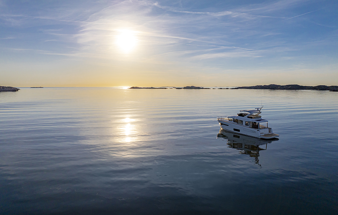
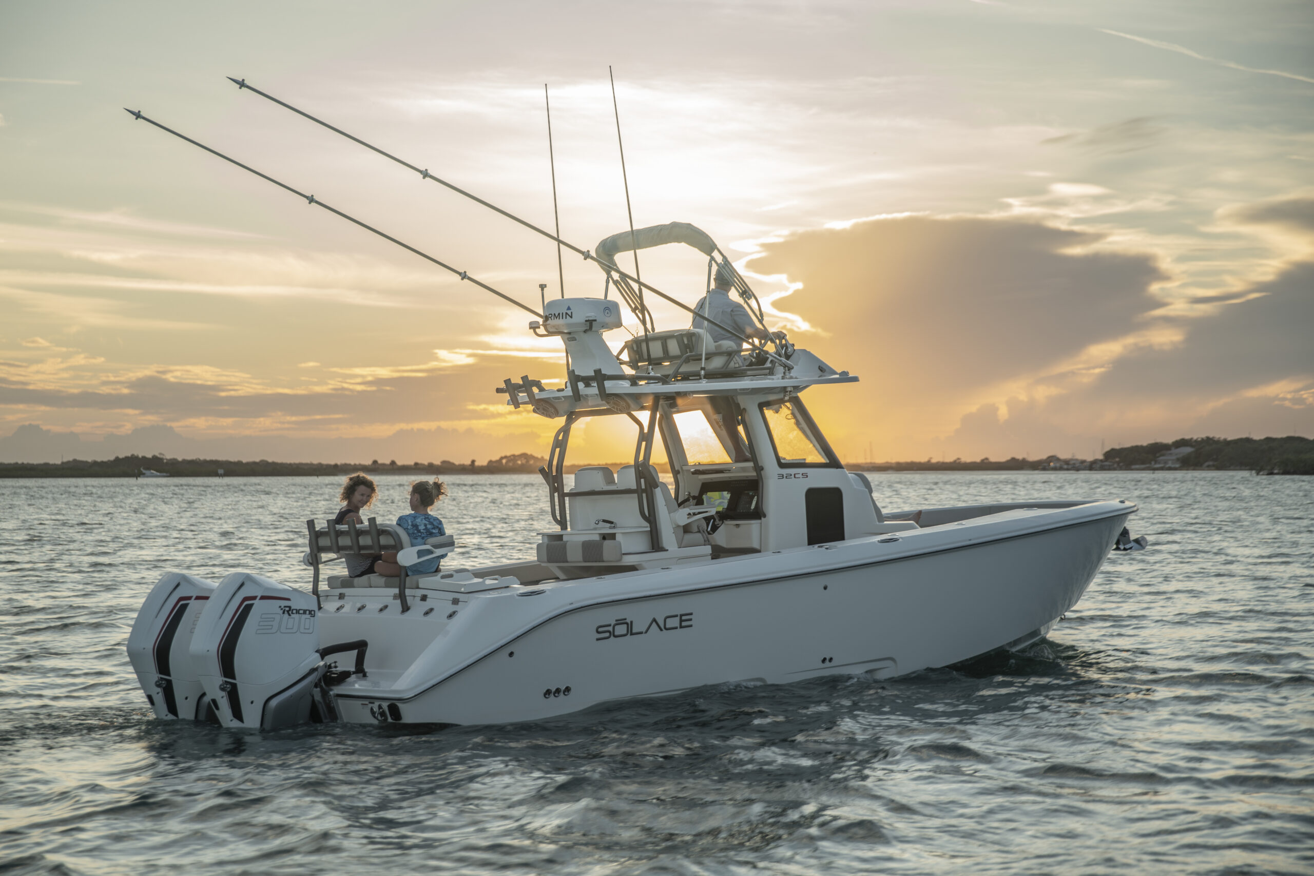
Whether you’re enjoying a day on your boat, eyeing that next big catch, or both, a durable chartplotter is one of the most important components of your boating experience. You may prefer a large touchscreen with the best screen resolution possible, or you need advanced sonar features such as SideVü™, ClearVü™ or OneVü™ with LiveScope™ compatibility. Maybe you just want a fishfinder with GPS and basic sonar.
However you enjoy time on the water, we’re here to help you understand the differences in the many GPS chartplotters and fishfinders Garmin has to offer.
Here are some of our innovative chartplotter and fishfinder offerings:
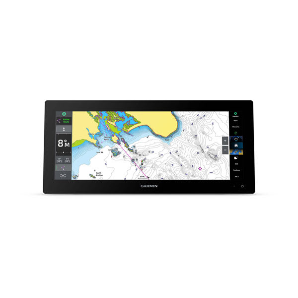
GPSMAP® 9000 Series (10”, 13”, 17”, 19”, 22”, 24”, 27” Chartplotters)
We’re starting with the big one. The best of the best, one may say. If you’re serious about all things boating and you want a chartplotter loaded with features and capabilities, the GPSMAP 9000 series should be your top choice. This series offers a range of display sizes and configurations to fit different helm setups. With the GPSMAP 9000 chartplotters, you can have stunning 4K resolution at sizes ranging from 13” to 27” and full HD on 10” display screens.
It’s all about speed and clarity with these modern and luxurious chartplotters. The GPSMAP 9000 multifunction display provides connectivity at lightning-fast speeds and can connect to multiple chartplotters, sonars (separate black box required; sold separately), radars and cameras. Those networking speeds clock in at 10 times faster than previous versions on the Garmin BlueNet™ network. Meanwhile, the processing power is up to seven times faster than previous generations, allowing for faster map drawing and routing.
You can also enjoy top-of-the-line marine charts. The GPSMAP 9000 series has preloaded Garmin Navionics+™, which provides detail-rich coastal and inland charts, Auto Guidance+™ technology1 and a 1-year subscription for daily map updates to help keep up with sea bed changes. With an optional upgrade to Garmin Navionics Vision+™, see even clearer with high-resolution relief shading and satellite imagery that pops with the 4K screen.
Is entertainment your forte? With the GPSMAP 9000, you can sync your audio and video across your network of screens and speakers — all from one spot at your helm through HDCP distribution. With the GPSMAP 9000, it’s simple.
Plus, for those who want the same powerful capabilities in a more compact configuration with built-in sonar, the GPSMAP 9000xsv models are available in 10” to 17” display sizes. These chartplotters include integrated CHIRP traditional sonar and UHD scanning sonar, allowing you to explore what’s below the surface in vivid detail.
GPSMAP® x3 Series (7”, 9”, 12”, 15” Ultrawide, 16” Chartplotters)
If you want to transform your boating experience, you’ll love the GPSMAP x3 series, available in 7”, 9”, 12”, 15” ultrawide and 16” touchscreens — with or without built-in sonar and Garmin Navionics+ charts. Perfect for a variety of boat types and styles, these chartplotters offer a sunlight-readable display and slimline design borders with edge-to-edge glass.
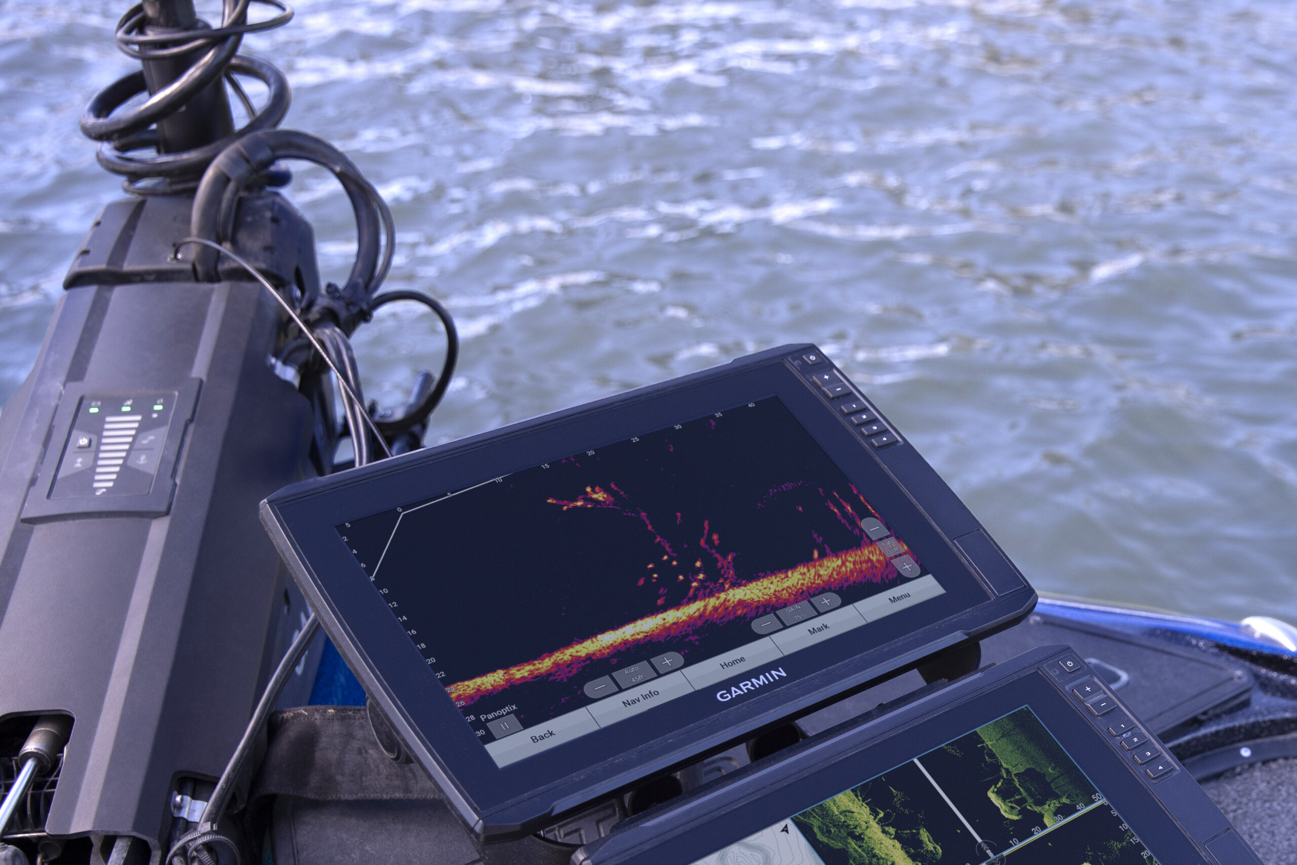
The GPSMAP x3 series comes with optional built-in 1 kW traditional CHIRP sonar as well as Ultra High-Definition SideVü and ClearVü scanning sonars with vivid, high-contrast color palettes to differentiate fish from everything else. Furthermore, the GPSMAP x3 series supports the full lineup of LiveScope™, Panoptix™ and CHIRP traditional sonar, so you’ll have the visibility you need around your boat, in real time (transducers sold separately).
Are you passionate about sailing? Then this is the chartplotter for you. With the GPSMAP x3 series, take advantage of sailing features such as Garmin SailAssist™ to view laylines, receive race start line guidance, view enhanced wind rose and more. Embrace your vessel’s polar table and view key data to guide how you trim your sails.
And rest assured, you can navigate confidently with superior marine charts with the built-in Garmin Navionics+ mapping, which provides detail-rich coastal and inland charts of lakes, rivers, inlets, bays, and nearshore and offshore waters. It includes Auto Guidance+™ technology1 and a 1-year subscription to daily updates. Or you could upgrade to a whole new level with Garmin Navionics Vision+ charts that supply high-resolution relief shading and satellite imagery.
With any of the GPSMAP x3 chartplotters, you’ll be able to build a complete onboard marine system using NMEA® networks or the Garmin Marine Network. With compatible sonar, autopilot, radars, cameras and more, you’ll be completely connected.
Consider your boating experience officially transformed.
ECHOMAP™ Ultra 2 Series (10”, 12”, 16” Chartplotters)
If you’re serious about your fishing and looking to get more out of your chartplotter, we’ve designed the ECHOMAP Ultra 2 just for you.
Take it all in with the Ultra 2’s larger display options at 10”, 12” or 16” with the highest screen resolution in the ECHOMAP series for the best Ultra High-Definition scanning sonar image. With LiveScope compatibility, these Ultra 2 chartplotters can capture your impressive fish catches with the new screen recording feature. These chartplotters come with preloaded Garmin Navionics+ U.S. coastal and inland mapping, a 1-year subscription for daily updates, depth range shading and detailed 1” contours to help you identify fishing hot spots. Additionally, optional Garmin Navionics Vision+ gives you features such as high-resolution relief shading, satellite imagery and more.
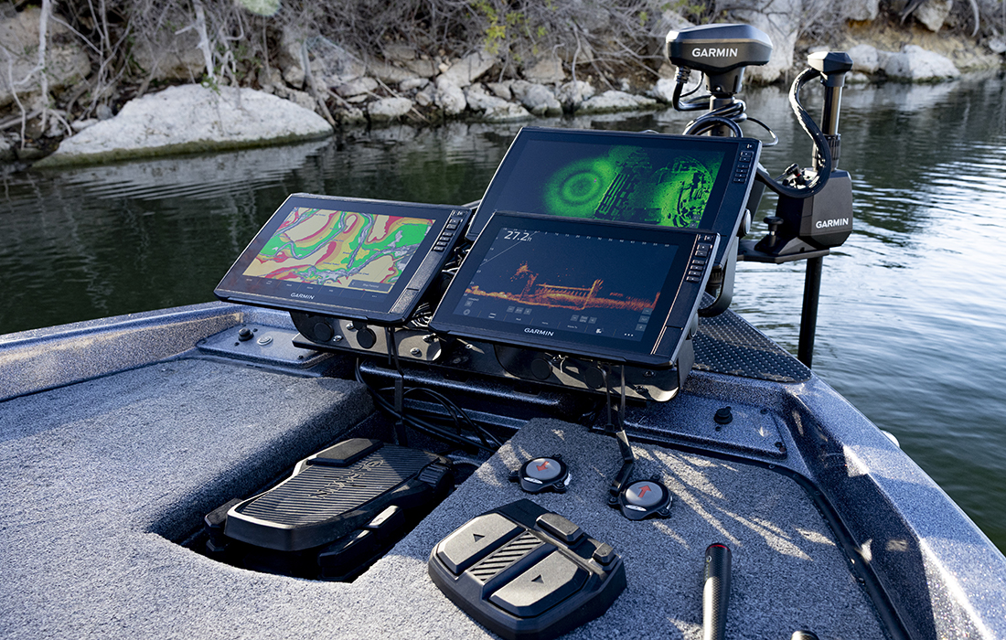
If you have more than one UHD2 or Ultra 2, you can network them wirelessly to share sonar, waypoints and routes. Wirelessly connect to your Force® trolling motor to navigate to waypoints, draw and follow routes, and more. Get improved position accuracy in areas where the signal is weak with multi-band GPS.
ECHOMAP™ UHD2 Series (5”, 6”, 7”, 9” Chartplotters)
Do you like to tread new waters? Great, because with an ECHOMAP UHD2 chartplotter, you can know the water better than a local thanks to best-in-class sonar and mapping.
The UHD2 6”, 7” and 9” sv chartplotters come with an ultra high-definition transducer that produces Garmin traditional and ClearVü and SideVü scanning sonar images so you can zero in on your next catch. You can choose between a unit preloaded with Garmin Navionics+ U.S. inland or coastal mapping (plus a 1-year subscription to daily map updates) with features such as depth range shading, shallow water shading and detailed 1” contours to assist in locating fishing hot spots.
Is a touchscreen a must for you? The UHD2 6”, 7”and 9” sv chartplotters have your back with an easy-to-use, sunlight-readable touchscreen display with a keyed assist interface. Other perks? Wireless networking for data sharing with a separate UHD2 or Ultra 2, support for LiveScope live-scanning sonar, multi-band GPS and wireless connectivity with your Force trolling motor.
If you’re just looking for basic sonar and mapping, we’ve got you covered there too. The convenient UHD2 5” and 7” cv units are available with CHIRP traditional and ClearVü scanning sonars offering high-resolution color palettes. They come preloaded with inland or coastal Garmin Navionics+ mapping.
Treading new waters has never been this easy.
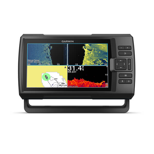
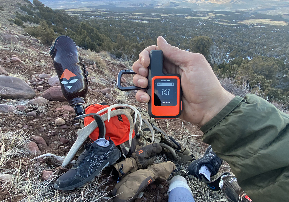
STRIKER® Vivid (4”, 5”, 7”, 9” Fishfinders)
The STRIKER Vivid series is sure to catch your attention. The STRIKER Vivid fishfinders come with a transducer, scanning and traditional sonar, and built-in GPS to mark fishing hotspots. If you’re on a budget and you need a robust GPS fishfinder, the Vivid is a great option for you.
Perfect for lakes, ponds and inland coastal waters, the STRIKER Vivid series is available in 4”, 5”, 7” and 9” screen sizes with mounting hardware. The 4”, 5” and 7” cv units come with a GT20-TM transducer and support traditional and ClearVü scanning sonar. Meanwhile, the 7” and 9” sv fishfinders have a GT52HW-TM transducer and support traditional, ClearVü and SideVü technology.
We bet you’re paying attention now.
We understand that not all anglers, cruisers and sailors are alike, which is why Garmin offers many options. For more information, check out all of our chartplotter and fishfinder offerings.
1Auto Guidance+ is for planning purposes only and does not replace safe navigation operations
NMEA®, NMEA 2000®, and the NMEA 2000 logo are registered trademarks of the National Marine Electronics Association.