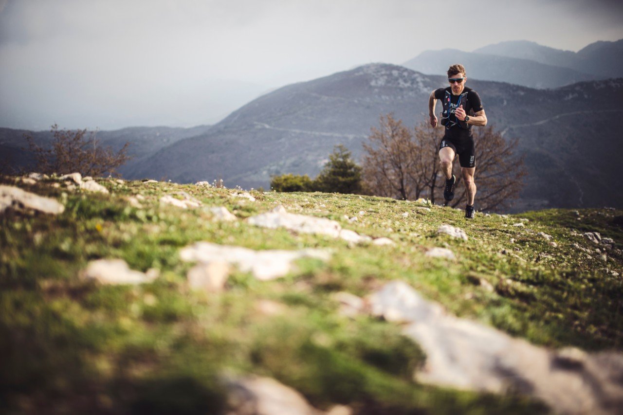
Gabe Joyes and His Record-Breaking 100-mile Run
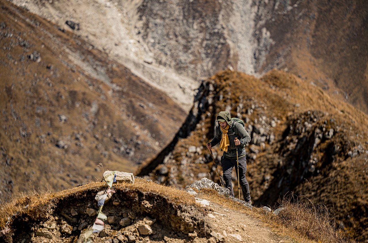
In early September, mountain runner and Garmin Pro Gabe Joyes established a new fastest known time, or FKT, on Wyoming’s 100-mile Wind River High Route in 47 hours and 10 minutes. The route traverses the Wind River Range staying as close to the crest as possible and is mostly off trail—covering boulder fields, glaciers, and knife edge ridges. We caught up with Gabe to hear a bit more about what the Wind River High Route was really like.
Garmin: What’s it like to train for something like that?
Gabe Joyes: Training for the Wind River High Route is daunting—the route is so big, difficult to access, and sort of a challenge just to wrap your brain around. Many parts of the route are 20-30 miles from the nearest trailhead! Fortunately I work with a coach that helped me balance frequent big mountain days with rest, and speedier runs. For me, “big mountain days” meant often spending 5-8 (or more) on course as much as possible, or covering terrain that was comparable to the Wind River High Route. There were a few instances I was short on time for training that I ended up doing hill repeats up and down a boulder field full of refrigerator sized rocks to simulate the WRHR experience!
G: What sort of physical and mental toll did it take on you?
GJ: I went into the route really physically and mentally prepared, but I think it is close to impossible to really prepare for sleep deprivation. Physically I began to get significantly tired after about 30-hours, but was still able to move along fairly well. Mentally the fatigue was much more real with the lack of sleep (I did not sleep the entire time), and even simple decision making became challenging. Breaking the route into smaller “chunks” helped me keep things in prospective and keep my act together when the task at hand became overwhelming.
G: How did your fēnix 6 Pro and inReach Mini help you train and track this run?
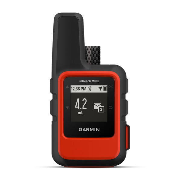
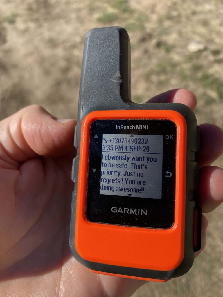
GJ: Having the ability to upload a GPX file onto a watch that has a color topographic background map is a game changer! I used my fēnix 6 Pro for all micro level navigation, and I used the Garmin Earthmate app on my phone for larger scale navigation—which was a great combination and I never once needed a paper map.. The inReach mini served as a backup navigation tool, but was especially nice to keep in touch with my wife and kids. They were able to keep track of my progress as well through Garmin MapShare online, which is priceless for loved ones.
G: What advice do you have for someone who is interested in an adventure run like this?
GJ: There are so many things to consider here, but I think it is important to really understand what sort of adventure you are looking for. The Wind River High Route is not a trail run—it’s truly an all-terrain adventure—and you have to mentally and physically be prepared for moving through a wide variety of technical mountain terrain that is often slow going and tedious. I chose to do this route solo and unsupported as a personal challenge, and as a way to really immerse myself in the experience. That is something that takes a boatload of physical and fitness preparation, but maybe even more mental preparedness.
Be sure to follow Gabe’s Instagram page (@gabejoyes) to stay up-to-date on his adventures!