A Friend’s Rescue: Surviving a Fall Down Mount Baldy
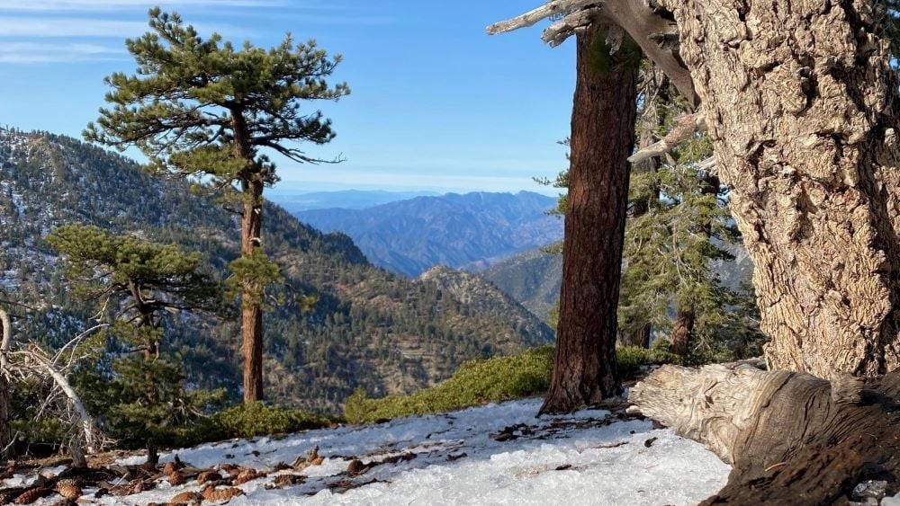
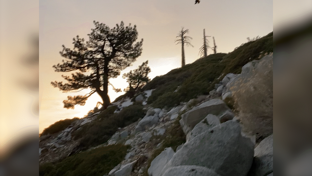
California’s Mount Baldy, with its close proximity to Los Angeles, is a very popular hiking destination. But standing more than 10,000’ tall with steep, variable terrain, high winds, and lingering snow and ice in the winter months, the mountain can also be immensely dangerous. Jessica Friedman and her party were halfway up when her friend experienced that danger. She shared with Garmin what ensued that day.
Two friends and I started out at Icehouse Canyon and made great time past Timber Mountain — over 4,000’ of vertical climbing — in an effort to loop the “Three T’s” on Mount Baldy.
As avid hikers, we felt confident in our ability to navigate rocks, snow and ice by utilizing our poles, spikes and ice axes. It was cold and windy, but our steady pace kept us warm.
This awesome hike took a turn for the worse quickly after hitting the Timber Saddle up towards Telegraph. There was a lot of ice on the trail throughout the hike. We approached a section that was icier than the previous areas but was not daunting. We had the trail map and were already halfway done with the hike at this point.
My friend was in front and went to cross the ice first. His foot went out from under him and he did a slow slide and hit a tree, which spun him around backward. That is when he started gaining speed down the mountain.
He fell well over 10 stories — his body slamming into everything imaginable, including trees and boulders. A rockslide was also triggered, which followed him down into a gorge. It was a traumatic sight to behold. The sheriff later confirmed that it is not a fall people usually come back from. In fact, after our experience, several hikers have unfortunately met their end this season in that exact area.
We called out to my friend several times, which was met with silence. I thought for sure he must have broken every bone in his body and was not going to make it.
My other friend jumped into action, grabbing his ice axe and climbing down to start a search. Shockingly, he found that our friend was able to move. Together, they even climbed back up to the trail.
Our friend had lost everything in the fall, including his pack, spikes, axe, inReach device and extra clothing. Plus, he was in a lot of pain and shock, and was wet and cold. His clothes were torn and he was badly scraped. We provided aid to him along with food and water.
Together we agreed to try to get off the mountain as quickly as possible. We carved a path in the ice and were forced to cross the same section where he fell.
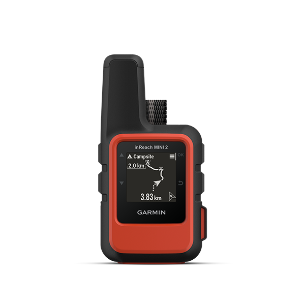
After a few switchbacks, it quickly became obvious that our friend was struggling to walk and may have internal injuries. I reached for my inReach® satellite communication device1 and pressed the SOS button.
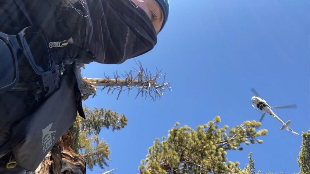
The Garmin Response℠ team was incredible and communicative. They organized the dispatch of a tactical rescue helicopter, which was overhead within 30 minutes. The Garmin Response team stayed in communication, giving us updates. They called my parents and brother immediately, as they are my emergency contacts, to let them know what was happening on the mountain every 30 to 40 minutes.

Eventually, an additional helicopter arrived and circled for an hour before leaving. The other helicopter followed suit and we watched them fade into the distance. When they ultimately flew away, there was an eerie silence. The only communication was on my inReach Mini, which kept me feeling safe and hopeful.
As time went on, the weather was noticeably changing. A storm was brewing over our heads and the white, wispy clouds turned dark. The temperature dropped quickly and the winds picked up. We were told that due to the storm, the helicopters would not attempt to land. At that point, we were starting to feel the effects of the weather — numb fingers and toes. I began to panic contemplating our limited options: hike out slowly in the dark, or wait hours for ground crews.
However, Garmin Response was in contact with us the entire time and they told us to stay put. As the fourth hour of waiting approached, I got a ping on my inReach device. It was a personal message from the sheriff that the tactical pilot and his team were coming back to get us in a larger helicopter with a hoist.
They arrived quickly and sent down a hoist rider, who rappelled down from the helicopter to clip us in one by one. They hovered over Mount Baldy as the sunset waned. The incredible team of officers hoisted us into the chopper, strapped us in and gave us reassurance that we were okay. I cried the whole flight back to safety because we were all safe and my friend survived.
I am thankful to all the men and women who rescued us — the helicopter teams and SAR ground support from San Bernardino County. I am forever indebted to them all. And I am particularly thankful that we were hiking with two Garmin inReach devices that day.
1Active satellite subscription required. Some jurisdictions regulate or prohibit the use of satellite communication devices. It is the responsibility of the user to know and follow all applicable laws in the jurisdictions where the device is intended to be used.