Latest Garmin g3 Cartography Release Includes More Than 1.3 Million Updates
g3 v2022.5updates offer new and improved content for BlueChart coastal charts and LakeVü inland maps.
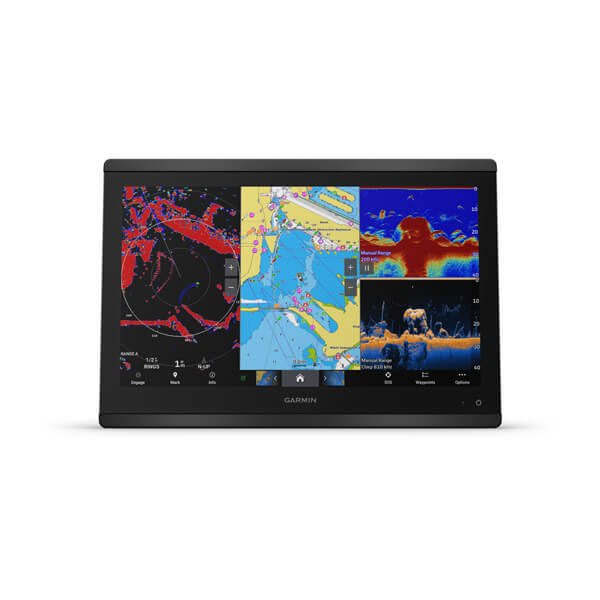
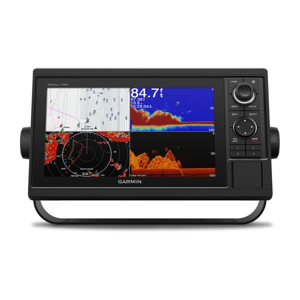
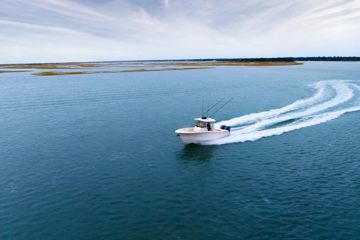
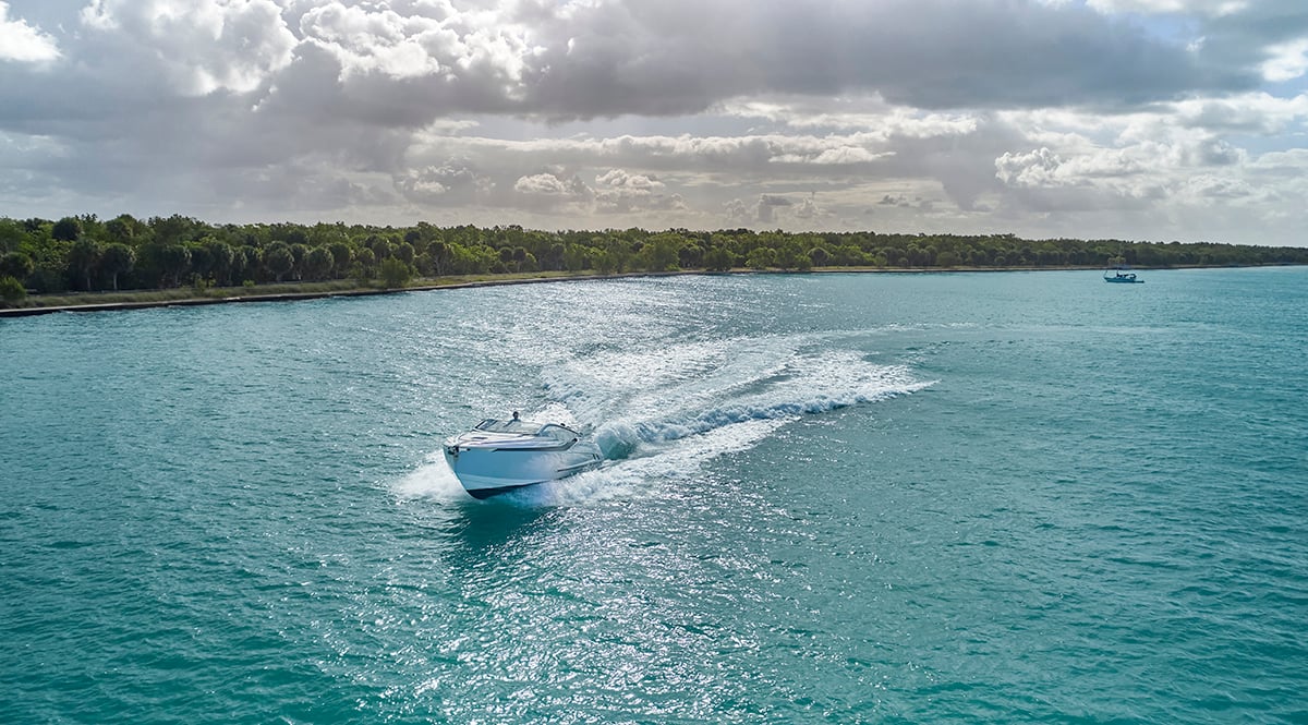
Featuring more than 1.3 million updates, Garmin g3 v2022.5 mapping delivers a host of essential information you need for a safer and more enjoyable season on the water — whether navigating busy waterways or in search of your next big catch. With coverage for more than 42,000 lakes worldwide and No. 1 marine mapping1 from integrated Garmin® and Navionics® data, this update brings a whole new level of detail to BlueChart® g3 coastal charts and LakeVü™ g3 inland maps.
So what’s new?
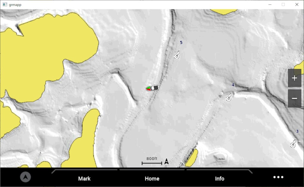
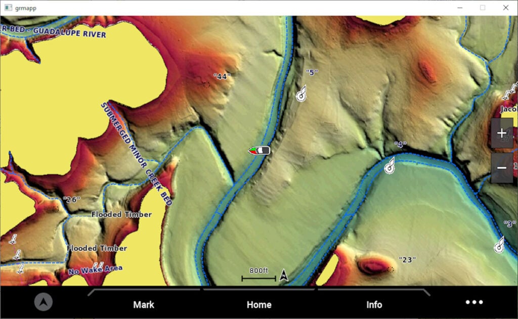
With comprehensive coverage you can depend on, v2022.5 adds updated global chart content, updated NOAA raster charts, new and updated survey lakes, new sonar imagery lakes and more. Plus, g3 v2022.5 is packed with new and improved high-resolution relief shading coverage for lakes and coastal waters around the world. High-resolution relief shading — a preloaded feature in the U.S. for BlueChart® g3 Vision and LakeVü™ g3 Ultra — uses a blend of color and shadow to create an easy-to-interpret, multidimensional view of the terrain below the waterline. This means you can more intuitively track down fish-holding structure, artificial reefs or unique diving locations.
New U.S. survey lakes with high-resolution relief shading:
- Sardis Lake (OK)
- Lake Buchanan (TX)
- Canyon Lake (TX)
- Lake Granbury (TX)
- Stillhouse Hollow Reservoir (TX)
- Lake Waco (TX)
Possum Kingdom Lake (TX) and Toledo Bend Reservoir (TX) also feature detailed improvements to existing high-resolution relief shading coverage.
New Swiss survey lakes with high-resolution relief shading:
- Lake Ägeri
- Lake Biel
- Lake Brienz
- Lake Constance
- Lake Geneva
- Lac de Joux
- Lake Lucerne
- Lake Morat
- Lake Neuchâtel
- Lake Thun
- Lake Zug
- Lake Zürich
Other new survey lakes with high-resolution relief shading in Europe include Lake Wörthersee (Austria) and Lac de Villerest (France).
For those who boat, fish and sail coastal waters — v2022.5 also features updated and expanded high-resolution relief shading and more along the U.S. Gulf Coast and in several European coastal regions.
Coupled with the latest Garmin mapping updates, BlueChart g3 and LakeVü g3 provide a suite of features designed to enhance your navigation and situational awareness on the water, including Auto Guidance technology2, ActiveCaptain® Community content and premium shading features.
The latest version of BlueChart g3 charts and LakeVü g3 maps can be downloaded for compatible Garmin chartplotters via the ActiveCaptain® app or via your Garmin Express account. Learn more by visiting Garmin.com/marine.
1Based on 2021 reported sales
2Auto Guidance is for planning purposes only and does not replace safe navigation operations