Beyond the Charts: How Garmin Develops Its Leading Marine Mapping
From data to detail, survey team members work tirelessly to update Garmin marine maps.
What goes into the most advanced and detailed charts in the marine industry? Quite a bit, actually.
Garmin, the world’s most innovative and recognized marine electronics manufacturer, has an entire program dedicated to researching and exploring bodies of water where more data is needed.
What’s the trick? In addition to utilizing available third-party data, our survey team works tirelessly to develop revolutionary marine charts for bodies of water worldwide.
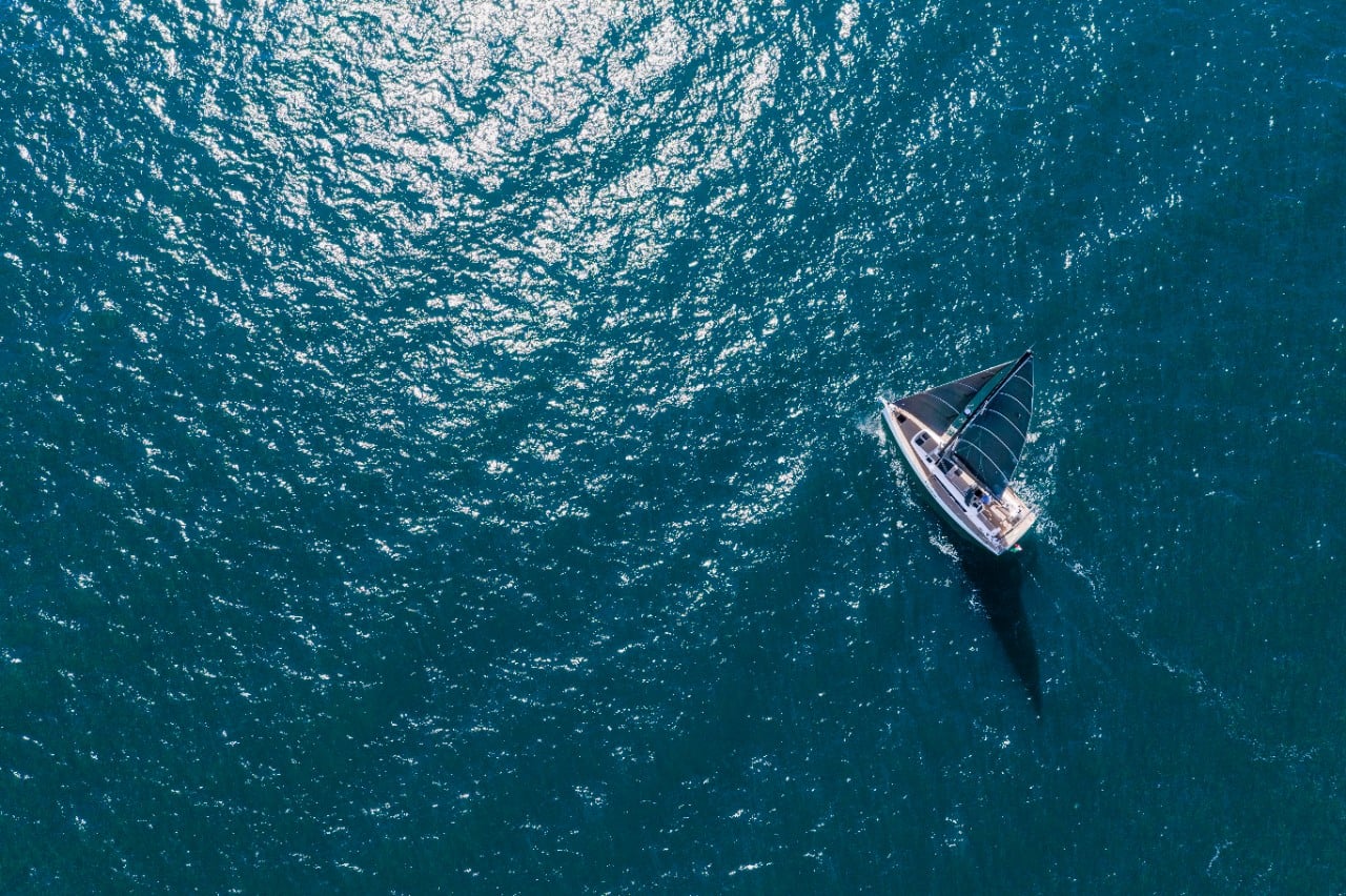
Whenever — and wherever — there’s a need, dedicated survey teams jump into action, spending countless hours in boats to target lakes and water bodies where enhanced data (such as depth contours) is needed to provide mapping details — or “fishing maps” on Garmin devices and SonarChart™ maps for Navionics.
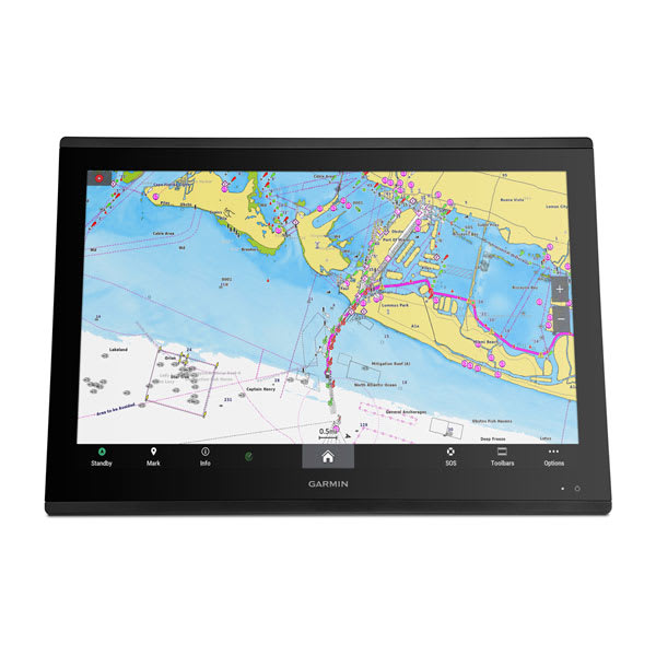
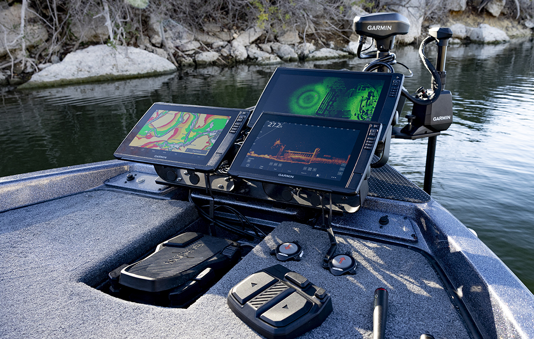
These surveys not only improve bathymetric maps but also enable Garmin to produce high-resolution relief shading content, which provides boaters and anglers a visual representation of the bottom detail in vibrant colors and shadows to depict changes in depths. This improved data is updated regularly to products such as Garmin Navionics Vision+™ and Navionics Platinum+™ and assists in producing improved mapping worldwide.
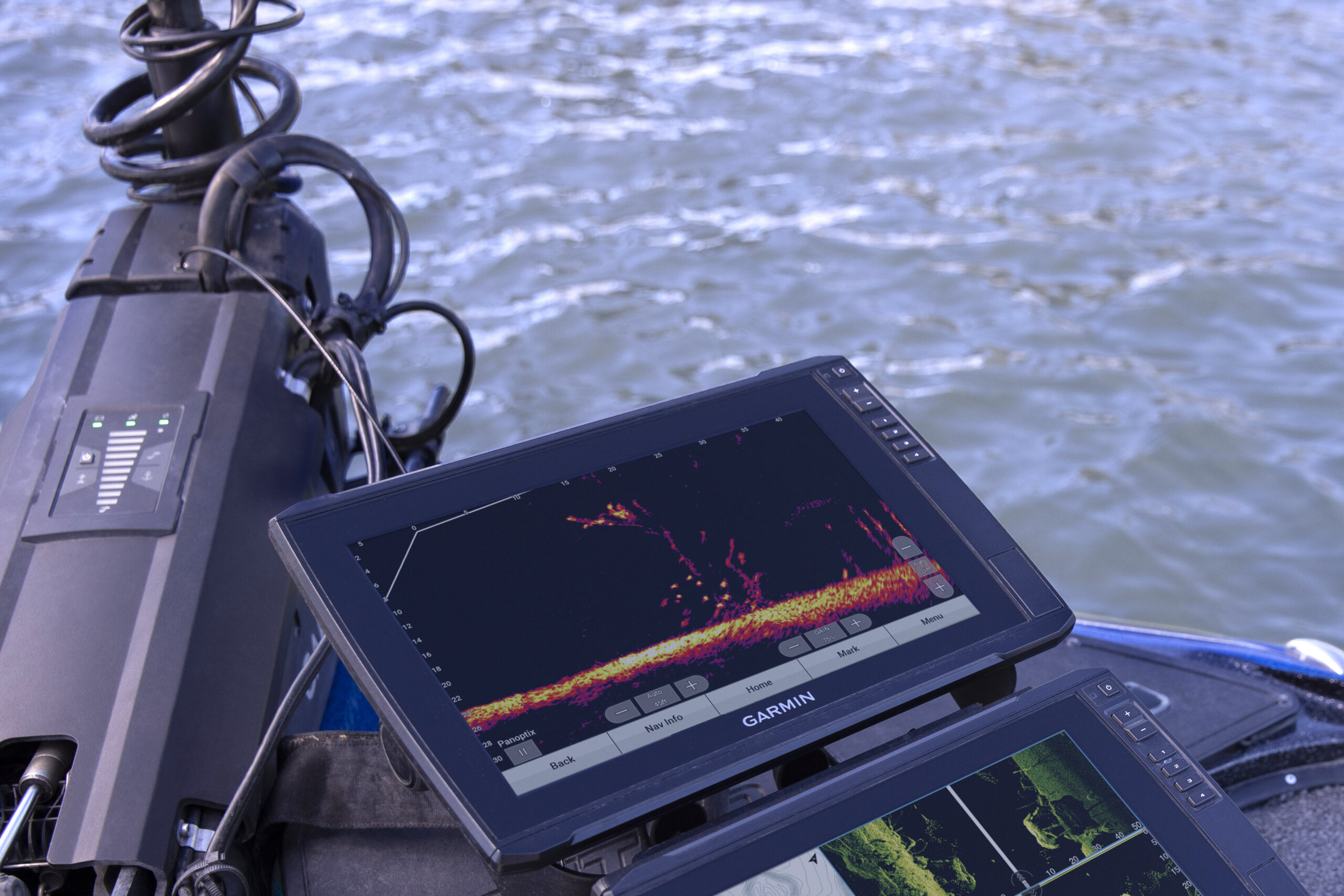
Utilizing sonar tech
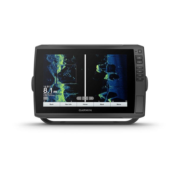
Our detailed surveys also utilize cutting-edge technology to create sonar imagery bottom hardness maps, which go beyond traditional depth charts — revealing the composition of the seabed, including roadbeds, rocky or sandy bottoms, and other significant features.
Boaters can utilize the different types of valuable content to make informed decisions on their routes, identify potential hazards and pinpoint prime fishing spots.
We rely on you too
In addition to relying on our own boaters and mapping developers, we also rely on you — our valued customers — to contribute sonar data to influence mapping detail. Garmin chartplotters and Striker™ fishfinders offer the Quickdraw Contours feature, which enables users to share sonar data effortlessly, much of which affects smaller bodies of water.
This means that boaters and anglers can benefit from data on their local lake or pond. In highly trafficked boating areas, data is improved for the benefit of an entire community on the water.
This collaborative effort extends the reach of Garmin’s mapping coverage to previously uncharted bodies of water.
So what?
Garmin’s approach to marine mapping builds upon the established principles of traditional cartography while implementing the latest technology to provide the most detailed maps the industry has to offer.
By continually integrating data from in-depth surveys and user-contributed data, mariners, anglers and boaters can take advantage of the most comprehensive and up-to-date mapping solutions.
To learn more about Garmin and Navionics marine mapping, or to purchase a chartplotter, click here.