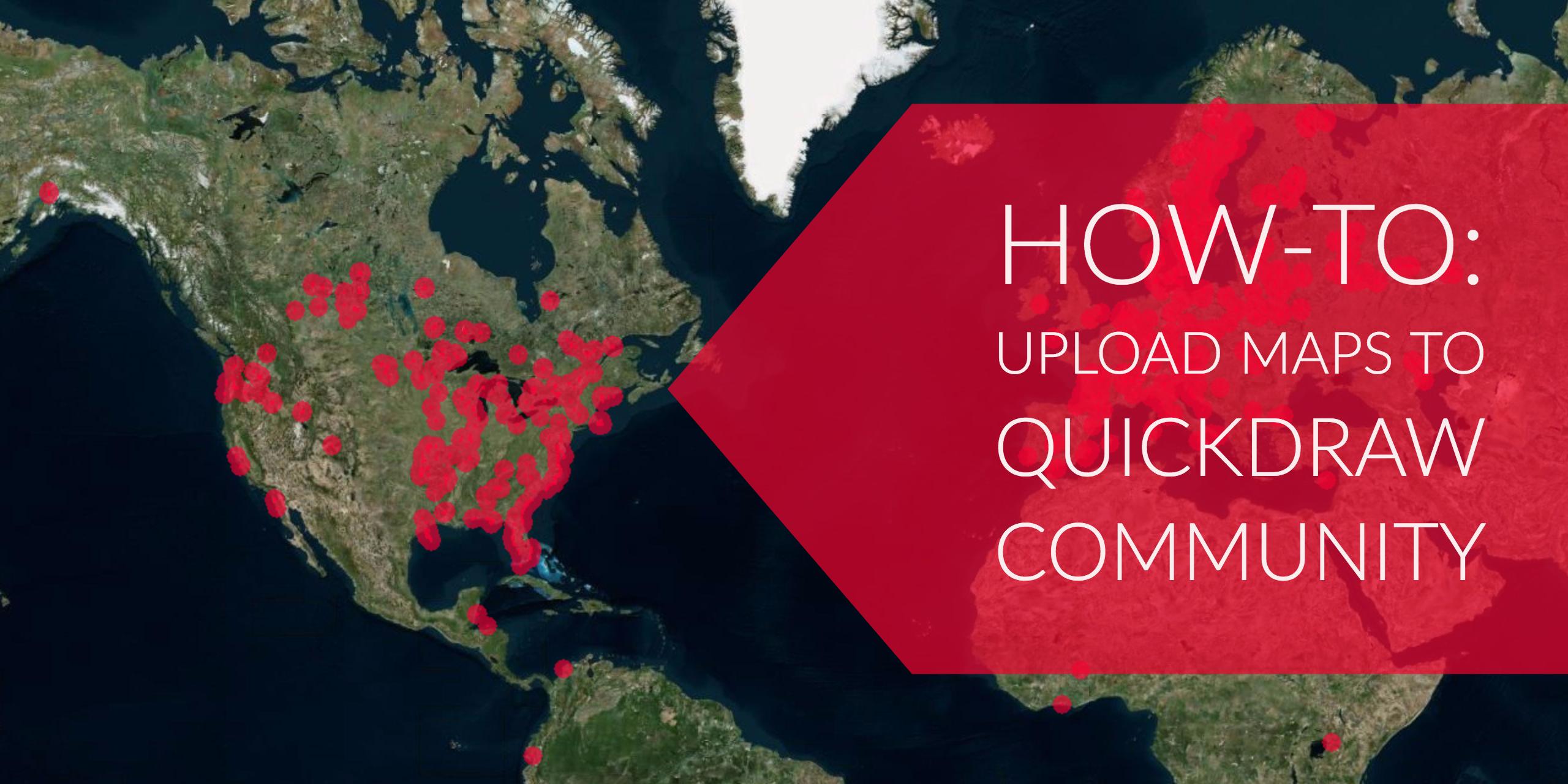
How to share Quickdraw Contours maps through Quickdraw Community
Be a part of the Quickdraw Community on Garmin Connect, which is free and open to the public, by sharing the Quickdraw Contours data you’ve captured on the water.
Here’s a step-by-step on how to upload your contour data to Quickdraw Community:
Step 1: Once you’ve created your custom lake maps using Quickdraw Contours, eject your SD or microSD card from your Garmin chartplotter and connect to your computer using a card reader.
Step 2: Create a Garmin Connect account at connect.garmin.com, or log-in to your existing account. Fast-track to the Quickdraw Community by clicking here.
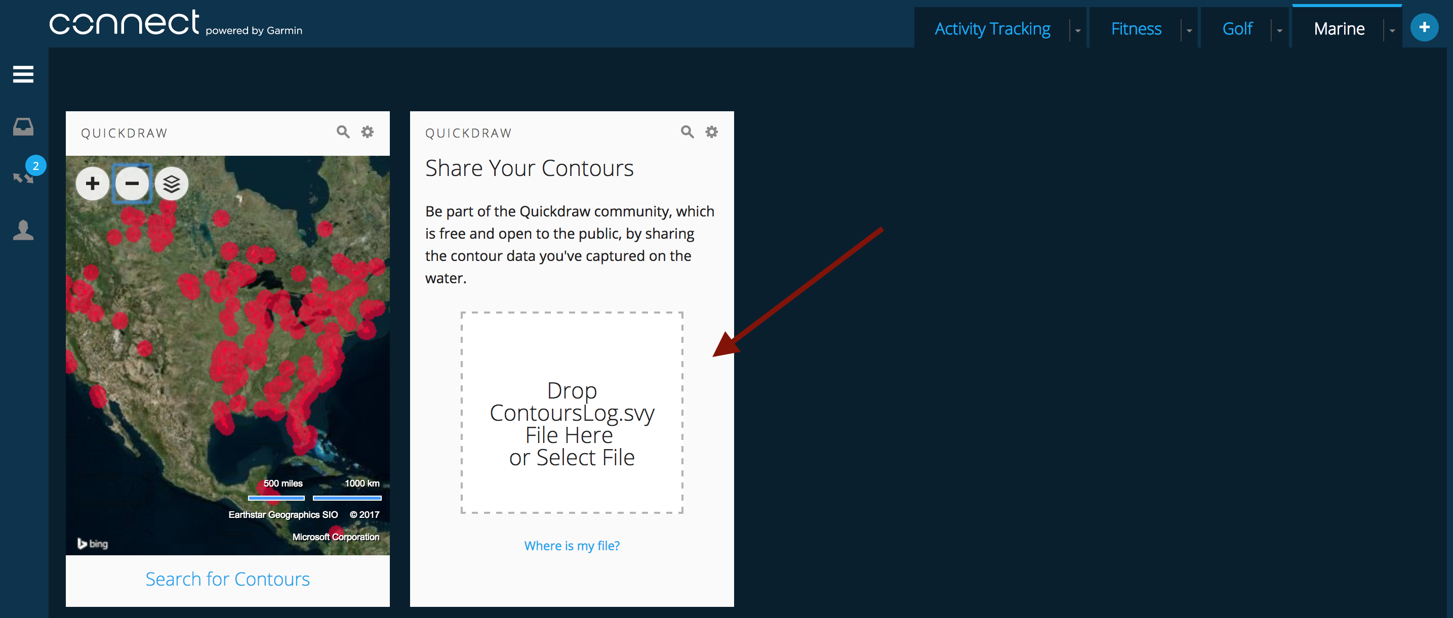 Step 3: Upload your file.
Your file is captured on an SD card in your Quickdraw-enabled chartplotter. To upload it to the Quickdraw Community, you should:
- Browse to your SD card that is connected to your computer and select the /Garmin folder.
- Open the Quickdraw folder and select the file named ContoursLog.svy.
You will receive a prompt once your upload is complete, at which point it will instruct you to delete the ContoursLog.svy file from your SD card to prevent issues with future uploads. Not to worry, your files won’t be lost.
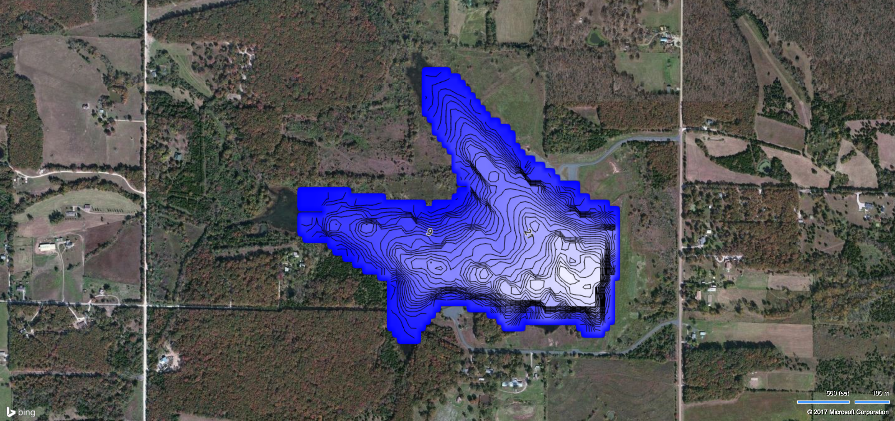
It’s as easy as that! Typically within a day, other users will be able to search for and locate your maps and easily download them for their own use.
If you’re still having trouble, check out this step-by-step instructional video:
https://www.youtube.com/watch?v=3Sayvot-ZiI
Also, be sure to read our Q&A for more information about Quickdraw Contours.
Click here to learn how to download Quickdraw Contours maps that others have created.
Follow Garmin Fish & Hunt on social media for tips from our pros, videos and blogs to help you become a better angler.