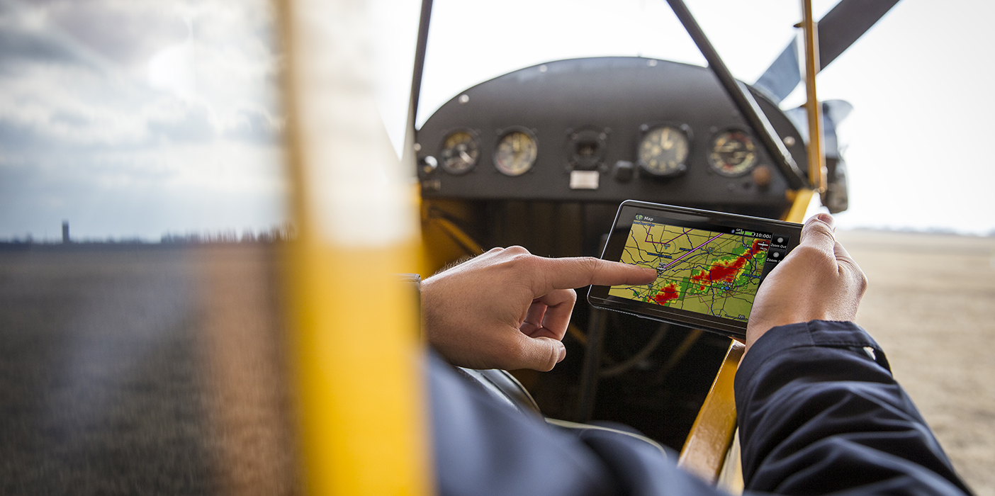
aera 660 Adds WiFi Weather Capability
A new feature for our aera 660—the rugged, purpose-built navigator—now makes the dedicated portable device even more useful during the flight planning process.
Internet weather data is now available on the touchscreen navigator including textual TAFs and METARs with worldwide coverage, plus radar data displayed on the map, with coverage in select regions across the globe, including the United States, Australia, and much of Europe. This feature is available with software version 3.30 or later, provided to customers free of charge. It requires a compatible internet connection.
For more information on the aera 660, visit our website.

aera 660 featuring WiFi weather data overlay.
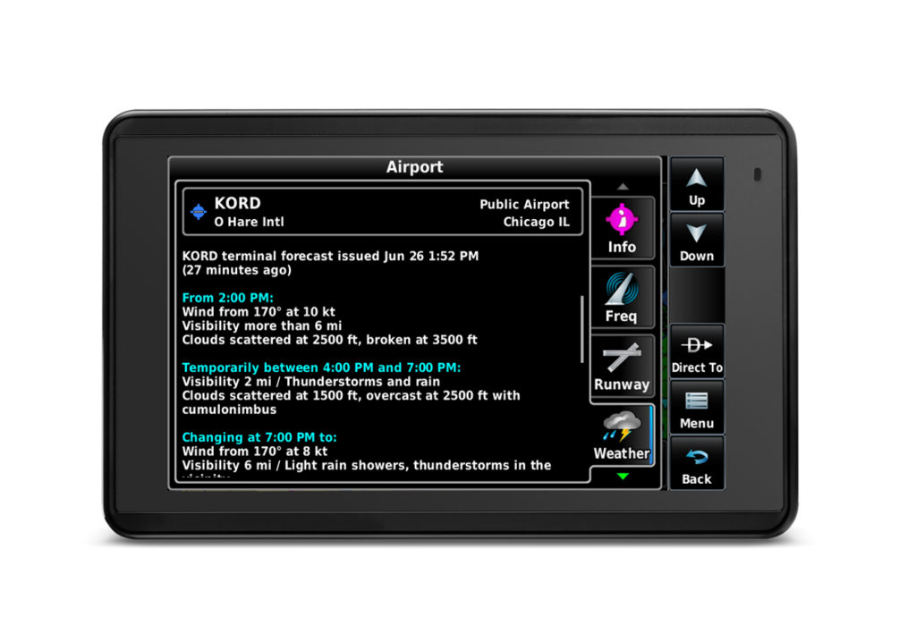
Textual TAF information.