Preparing for Adventures in Avalanche Terrain
Avalanches are powerful forces in the winter mountain environment. They help shape the landscape by cutting swaths through forests, filling up valleys and creeks with snow and slowly eroding steep alpine slopes.
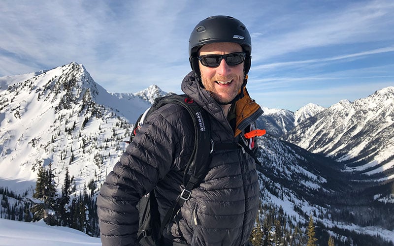
Traveling through snow-covered mountainous terrain — whether on foot, ski, board or snowmobile — is exhilarating, yet moving safely through avalanche terrain requires the right equipment and a number of skills. Garmin asked James Floyer, an avalanche forecaster at Avalanche Canada, what he recommends to people who are considering heading into Canada’s famous mountain terrain.
Garmin: How many years have you been traveling in the backcountry?
Floyer: I’ve been backcountry skiing for 25 years and riding a sled for 15. I used to ice climb back in my younger years, and I’ve done some snowshoeing, too, mostly for access when it doesn’t make sense to carry my skis.
Garmin: What is the essential gear to bring with you when you’re heading into the backcountry?
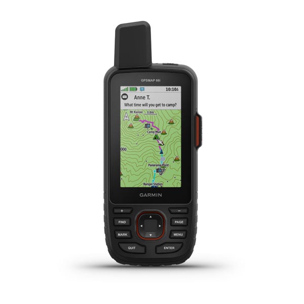
Floyer: This question always gets asked first, which I guess makes sense, because gear is so tangible. It’s a simple answer: a transceiver, probe and shovel. Each person in the group needs to carry all 3 and know how to use them. They should always remember to test their gear before going into the backcountry. Avalanche rescue gear is effective, but if you need it — something’s already gone wrong. There are several things that help prevent getting caught in an avalanche in the first place that also need to be considered.
Garmin: What’s a good way to prevent getting caught in an avalanche?
Floyer: Start by checking the avalanche forecast for your area. Preventing avalanches is all about selecting terrain appropriate for the current conditions, so it really pays to put some effort into understanding what the prevailing conditions are. If you’re unsure whether your destination is a good choice, use a tool like the Avaluator Trip Planner to help assess whether the route is a reasonable place to go. The Trip Planner gives recommendations based on the rating of the intended route, using the 3-point Avalanche Terrain Exposure Scale and the current avalanche danger rating. If your trip is taking you to Canada, there is an interactive version available on the Avalanche Canada website.
Garmin: Can you share a few common examples of terrain and/or weather hazards to be aware of when traveling in avalanche terrain?
Floyer: Learning to recognize where an avalanche is likely to be triggered is an important skill to develop. Convexities in the terrain, where a slope’s angle increases, is where the snowpack is under the most stress. If there’s a weak layer in the snowpack, a convex roll is where you’re likely to trigger it. Also, be aware of open slopes where rocks or small trees are showing. These are potential weak points in the snowpack that could be triggered. All things being equal, I’d choose a slope that is all white over one that is spotted.
The important weather signs that indicate increasing avalanche danger include snowing heavily (more than 2 cm/hour), the air temperature near or over 0 degrees C or rain. There are other factors as well, of course. Wind is the architect of avalanches, so being aware of wind patterns — when it may have moved the snow around and created wind slabs — is another observation that should always be noticed.
Garmin: How do I learn to make smart planning decisions, assess conditions and avoid dangerous situations?
Floyer: The best way to learn is by taking an Avalanche Skills Training (AST) course. You can think of your AST course as your ticket to ride in the backcountry. You’ll learn the basic skills you need to stay safe in avalanche terrain. AST courses are a lot of fun. They’re hands-on, and they get you outside into avalanche terrain (or close to it if conditions are bad).
Garmin: I’ve heard you’re supposed to move one at a time across avalanche slopes. Why is that? Are there other things you should do when moving through the mountains?
Floyer: Traveling one at a time in avalanche terrain gives you a margin for error. If you’ve got your assessment of the slope wrong and an avalanche occurs, only one member of the group gets caught. Other members can aid that person using their companion rescue skills. Some other good travel habits are to always group up in safe spots, actively look for instabilities as you travel and use good communication within your group.
Garmin: Avalanche professionals often talk about the human factors contributing to accidents in avalanche terrain. How can we check ourselves so we don’t fall victim to an error in decision-making?
Floyer: Yes, we are certainly becoming more aware of the effect human factors can have on our decision-making, both bad and good. One of the main human factors that can contribute to poor decisions is complacency, which can happen when you’re in an area that you’re very familiar with. Or maybe it’s a blue-sky day, you’re with good friends, and you’re feeling that nothing can go wrong. Having a structure for your decision-making process helps you to guard against this natural inclination to let your guard down.
Good human factors include our ability to communicate. Make sure everyone in the group is in on the decision-making. Share your observations throughout the day, and listen to everyone’s input, no matter their experience levels. If you’re the inexperienced one, speak up! Don’t be shy to ask questions. That’s the best way to learn from others who may have more miles under their belts.
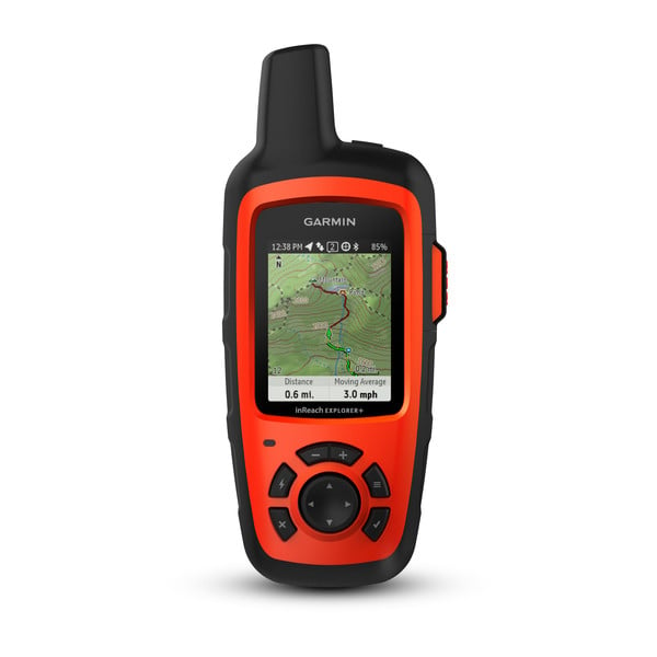
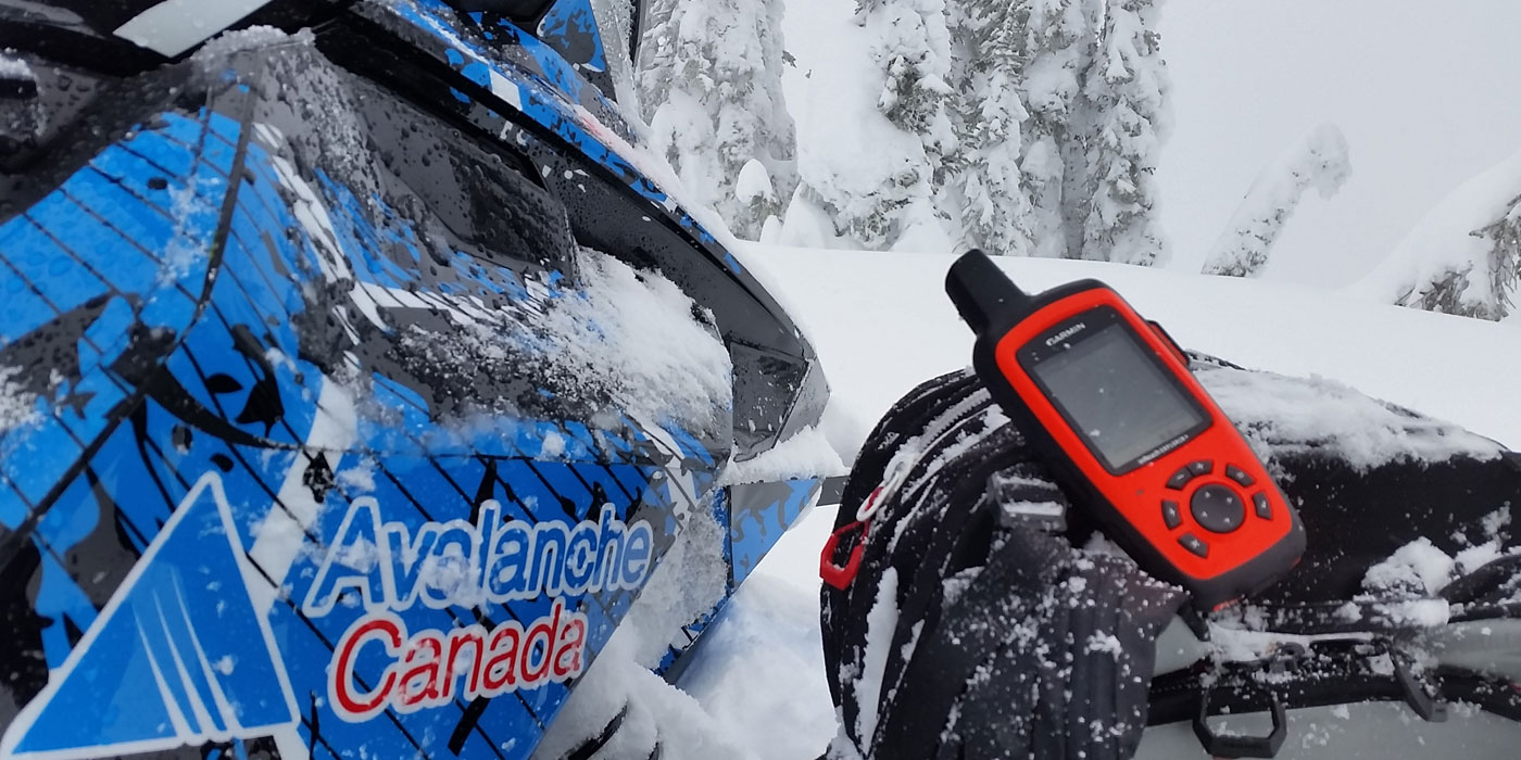
Garmin: How can an inReach® satellite communication device help during an avalanche rescue?
Floyer: An inReach device can definitely be a key tool for getting help. You can trigger an SOS and communicate with a response party to coordinate extraction. Companion rescue requires rapid response as asphyxiation for a buried victim starts to occur after only 10 minutes. If you have extra rescuers available, having one person communicate via an inReach or other satellite messaging system is a good idea. Outside assistance is really valuable in providing transport of victims to a medical facility, which can substantially improve their chances of survival.
Avalanche Canada is a non-government, not-for-profit organization dedicated to public avalanche safety. Learn more at avalanche.ca/about.
To NOTICE: To access the Iridium satellite network for live tracking and messaging, including SOS capabilities, an active satellite subscription is required. Some jurisdictions regulate or prohibit the use of satellite communications devices. It is the responsibility of the user to know and follow all applicable laws in the jurisdictions where the device is intended to be used.