Create your own HD fishing maps with Garmin Quickdraw Contours
Garmin Quickdraw Contours is a free, easy-to-use software feature that allows boaters to instantly create personalised HD fishing maps with 30cm contours on any body of water.
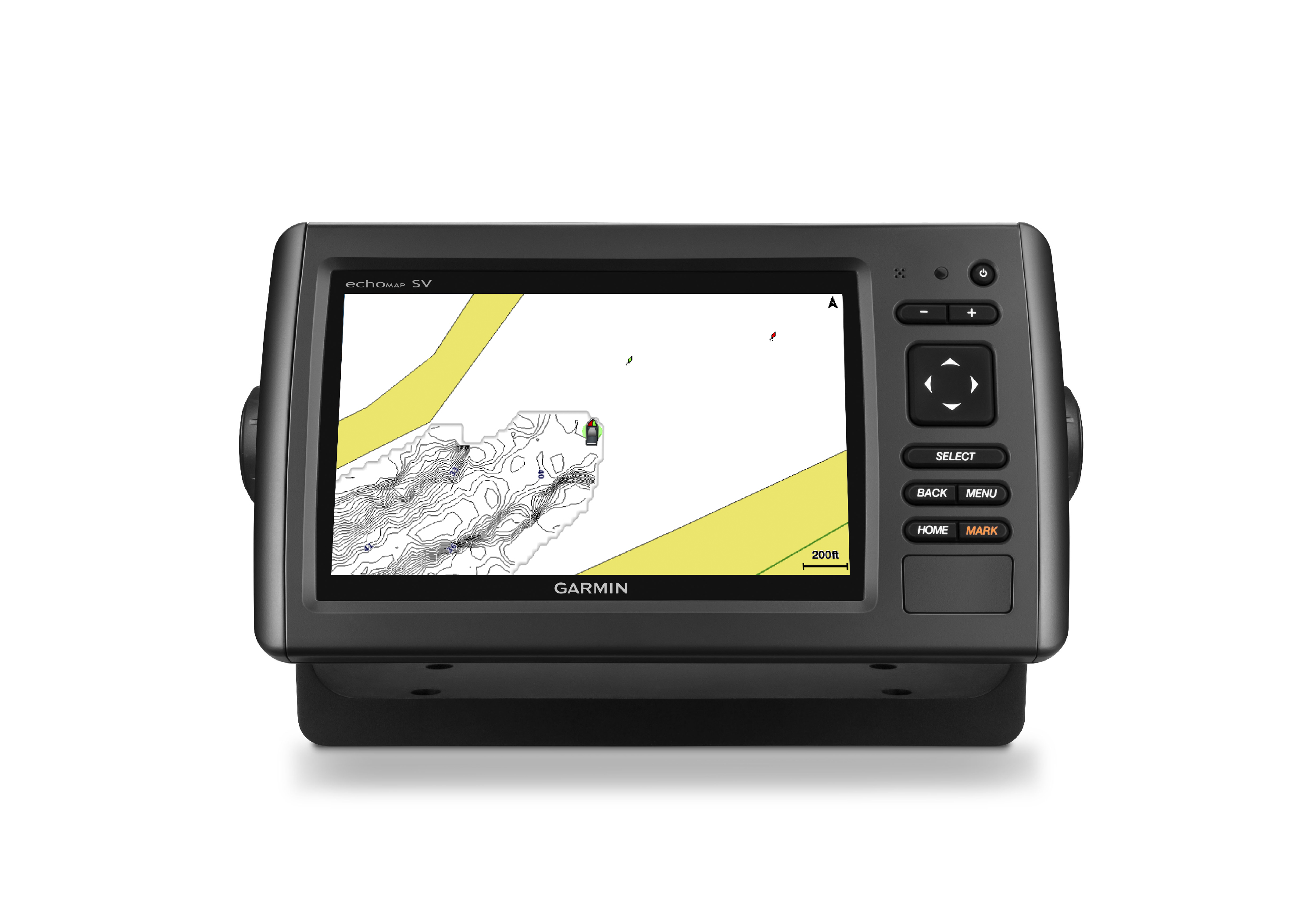
Powerfully simple, Quickdraw Contours results are generated right on the screen as the boat moves – there’s no waiting around or sending the files to Garmin, and the maps can be kept private or shared with others at no cost.
Built-in as standard in the 2016 echoMAP CHIRP range – and available as a free software update for other echoMAP and many GPSMAP series products – the software can be used with any transducer, including Garmin Panoptix, HD-ID, DownVü and NMEA 2000 transducers.
Quick and accurate, Quickdraw Contours results can be viewed in real-time, or created in the background for use at a later time. For the most comprehensive coverage, Quickdraw Contours clearly shows where usable depth information has been collected and where gaps exist, so users can easily see what still needs to be collected.
To further customise and tailor the data to meet personal needs, Quickdraw Contours also offers user-generated points of interest (POI) and waypoints. The POIs can be used to note interesting information about a particular location, and waypoints can be added to mark a favourite fishing spot or other location for future reference.
The collected data can be stored on any off-the-shelf SD or microSD card, as well as existing Garmin BlueChart g2 and BlueChart g2 Vision cards. Once the Quickdraw Contours data has been collected, users can opt to share it with others simply by copying the files to another card, or they can choose to keep it private; Garmin does not require the data be shared, nor is there a fee to keep it private.
RRP: free!
CLICK HERE for a quick product overview video


