The Ultimate in Touchscreen Toughness: Garmin® Montana™
Gives New Meaning to Rugged and Versatile
Garmin, the global leader in satellite navigation, today announced the Montana™ handheld GPS device – the most advanced Garmin touchscreen navigator featuring a rugged design with multiple uses: on foot, on the water and in the car. With battery options, a large dual-orientation screen and support for a wide range of Garmin cartography, Montana is our most versatile GPS for the serious adventurer.
It has a barometric altimeter for elevation profiling and exceptional routing functions using preloaded high-definition worldwide mapping. The built-in 3-axis compass gives the Montana a heading even when standing still or held at an angle. Montana’s glove-friendly responsive touchscreen is a generous four inches (10.2cm) and the photos taken by its 5-megapixel autofocus camera on the 650 and 650t models are displayed in sunlight-readable brilliant colour.
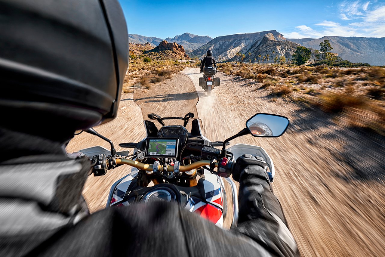
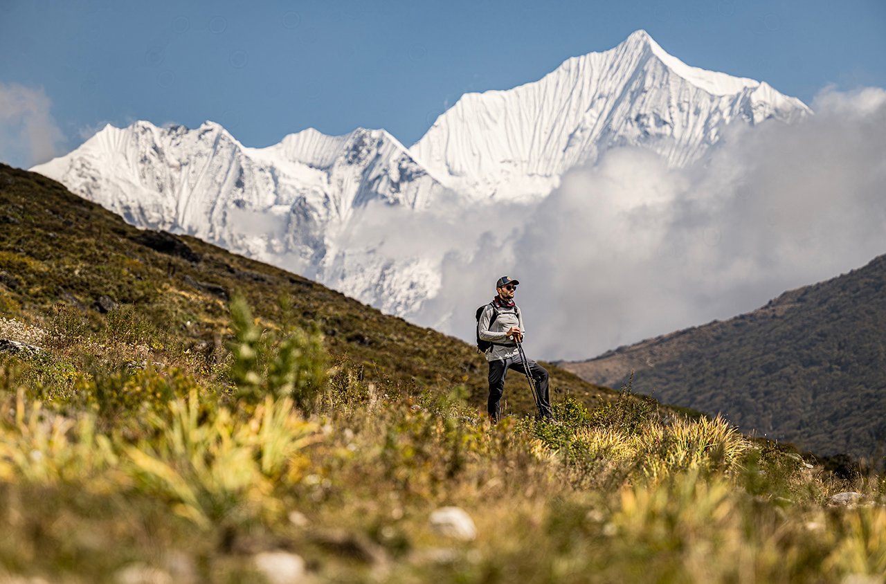
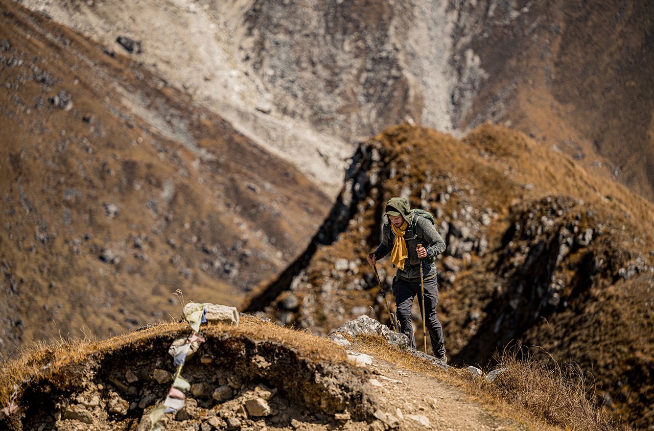
“Montana was designed to be rugged, portable and incredibly versatile for people who are always after adventure,” said Dan Bartel, Garmin’s vice president of worldwide sales. “We now have one device to fulfil all of your GPS needs. From navigating in your boat or traversing the back country in your 4 x4, to hiking the Austrian Alps and even receiving spoken turn-by-turn directions on the way to the shops — Montana has the flexibility and mapping compatibility to do whatever you need it to.”
Anywhere and everywhere: With Montana’s ultra-rugged design there’s no need to hold back, regardless of your adventure. Montana is fully waterproof and capable of withstanding all the mud and grit you can throw at it, even when connected to its optional power mount. Use the in-car mount and City Navigator® mapping for spoken, turn-by-turn driving directions, or the hardy mount for your motorcycle or 4×4. If you are on foot, simply plug headphones into Montana’s 3.5mm audio jack to hear the spoken prompts.
When it comes to mapping, Montana has you covered with support for Garmin’s wide array of detailed topographic, marine and road maps. It also supports new BirdsEye™ Select and BirdsEye Satellite imagery (subscription required) that allow you to download custom areas of your favourite raster maps and satellite images to your device. And, when you connect your Montana to your computer, you can use any of these maps with Basecamp, our free downloadable route planning software designed to help you plan and review your trips in precise detail.
Stay powered: Montana offers two battery options to keep your device powered during remote treks and other outdoor adventures. When you have a chance to rest and recharge each night, a thin, lightweight lithium ion battery pack, lasting up to 16 hours, comes in the box. For those trips where you’re off the grid, Montana also works on three AA batteries, giving explorers an additional 22 hours of use without being weighed down.
Go paperless: Montana supports geocaching GPX files for downloading geocaches and details straight to the unit. Montana stores and displays key information, including location, terrain, difficulty, hints and descriptions, which means no more manually entering coordinates and paper print outs! Simply upload the GPX file to your unit and start hunting for caches. Caches can be downloaded from www.OpenCaching.com , a completely free online community for creating, sharing and finding geocaches around the world.
While you are out searching for your next cache or trekking through untouched wilderness, capture locations and memories with Montana’s 5-megapixel digital camera. Each photo is automatically geotagged with the location where it was taken, enabling you to navigate back to that exact spot in the future. Snap and view pictures in landscape or portrait orientation. For more storage, insert a microSD card; you can even view pictures from other devices on microSD with Montana’s picture viewer.
The Montana comes in three models, the 600 with worldwide basemap, 650 with worldwide basemap and 5MPcamera and 650t with worldwide basemap, 100k Euro Topo mapping and 5MP camera.
The RRP price starts from £429.99 for the Montana 600, £499.99 for the Montana 650 and £549.99 for the Montana 650t.
Montana is the latest breakthrough from Garmin, which has spent more than 20 years developing GPS technologies and innovations to enhance users’ lives, making Garmin a household name in the automotive, aviation, marine, wireless, outdoor and fitness industries. For more about features, pricing and availability, as well as information about Garmin’s other products and services, go to garmin.co.uk and twitter.com/garminuk
About Garmin
The global leader in satellite navigation, Garmin Ltd. and its subsidiaries have designed, manufactured, marketed and sold navigation, communication and information devices and applications since 1989 – most of which are enabled by GPS technology. Garmin’s products serve automotive, mobile, wireless, outdoor recreation, marine, aviation, and OEM applications. Garmin Ltd. is incorporated in Switzerland, and its principal subsidiaries are located in the United States, Taiwan and the United Kingdom. For more information visit Garmin's media centre at http://garmin.blogs.com/ukpr. Garmin is a registered trademark and GHP, GHC and GWS are trademarks of Garmin Ltd. or its subsidiaries. All other brands, product names, company names, trademarks and service marks are the properties of their respective owners. All rights reserved.
Notice on forward-looking statements:
This release includes forward-looking statements regarding Garmin Ltd. and its business. All statements regarding the company’s future product introductions are forward-looking statements. Such statements are based on management's current expectations. The forward-looking events and circumstances discussed in this release may not occur and actual results could differ materially as a result of known and unknown risk factors and uncertainties affecting Garmin, including, but not limited to, the risk factors listed in the Annual the Quarterly Report on Form 10-Q for the quarter ended June 26, 2010 filed by Garmin with the Securities and Exchange Commission (Commission file number 000-31983). A copy of suchs Form 10-Q can be downloaded at www.garmin.com/aboutGarmin/invRelations/finReports.html. No forward-looking statement can be guaranteed. Forward-looking statements speak only as of the date on which they are made and Garmin undertakes no obligation to publicly update or revise any forward-looking statement, whether as a result of new information, future events, or otherwise.
xxxx