
Complete coverage of the Republic of Ireland available with Garmin Eire Discoverer
Global leader in personal satellite navigation Garmin is proud to announce the launch of a new series of the award-winning Garmin topographic maps. Garmin Eire Discoverer is the latest in the mapping range, offering full coverage of the Republic of Ireland.
These revolutionary new maps bring outdoor enthusiasts the opportunity to view a wider variety of highly detailed mapping from the Ordnance Survey of Ireland (OSi) map series, whilst navigating with turn-by-turn accuracy on the road network.
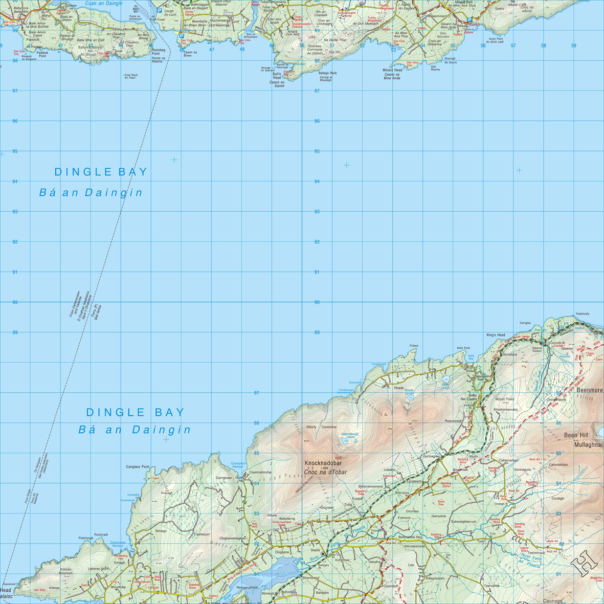
Users can now benefit from full 1:50K scale Ordnance Survey of Ireland map coverage for the whole of the Republic of Ireland. Garmin Eire Discoverer is available in four regions – North West, North East, South West and South East.
Garmin Eire Discoverer allows users of the Dakota™, Oregon® and Colorado® handhelds to experience using raster mapping with the underlying intelligence of vector cartography, providing navigation with ease and accuracy.
Garmin’s new mapping offers all the benefits of traditional paper maps with the added bonus of intelligent street map routing and interactive points of interest. Use the Garmin touchscreen GPS to search, select and navigate to street addresses and attractions, follow routes on foot, in car or by bike.
Product Manager for Outdoor Andrew Silver commented: “The popularity of our GPS handheld devices in Ireland has led to the innovation of mapping with the familiar Ordnance Survey of Ireland platform.
“For the first time in the Republic of Ireland handheld GPS devices can display information from Ordnance Survey of Ireland maps whilst giving you all the benefits of a Garmin GPS system.”
Providing an extensive database of points of interest (POIs) and available either via download from the Garmin website or on a convenient microSD™/SD™ card, you can simply insert the maps into Dakota, Oregon and Colorado devices and go.
Andrew added: “From placing the handheld in your car and using it to navigate to your chosen destination, to exploring footpaths and discovering your nearest camp site or restaurant, the combination of Ordnance Survey of Ireland mapping and a Garmin handheld GPS provides a completely interactive experience.”
Hugh Mangan at Ordnance Survey of Ireland said: “Working in Partnership with Garmin to produce new topographic maps has added a new perspective to OSi maps – the accuracy and detail from our most popular mapping is now provided with a GPS companion, helping you get a completely new and interactive map reading experience.”
If you purchase a Dakota 20 in store before the 31st December 2009, you get 50% off of any Garmin Eire Discoverer 1:50K mapping card!
Garmin Eire Discoverer is expected to be available from mid November 2009. For more information on Garmin Eire Discoverer mapping and the Garmin range of handheld GPS products visit www.garmin.co.uk.
| Eire Discoverer microSD/SD card | RRP inc. VAT | When Purchased alongside a Dakota 20* or Oregon unit* |
| North West | €159.99/ £129.99 | €80/ £65 |
| North East | €159.99/ £129.99 | €80/ £65 |
| South West | €159.99/ £129.99 | €80/ £65 |
| South East |
€159.99/ £129.99 |
€80/ £65 |
*When purchased in-store