Climb Every Mountain with a Garmin Outdoor GPS
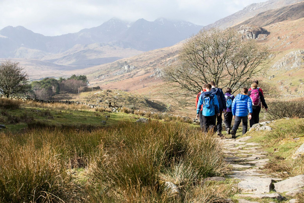
Tens of thousands of enthusiastic hikers, walkers and climbers will be taking to our hills and mountains this Easter. Unfortunately, statistics show that some of them will get into difficulties for which they will be unprepared.
“Due to the wide variation of when Easter falls in the calendar each year, the weather over the holiday period can be remarkably different.
For example, Easter 2011 saw very high temperatures, peaking at 26C in some places, as the UK enjoyed perfect summery weather conditions. This more than likely explains a big spike in numbers of incidents for that year.
Easter 2013 was a very different story, certainly in Snowdonia. My own team were kept busy recovering ill-equipped walkers stranded in full winter ‘white-out’ conditions, some suffering of them from life threatening hypothermia.”
Rob Shepherd, Statistics Officer, Mountain Rescue (England & Wales)
With Easter being a moveable feast, it is entirely possible for outdoor sports enthusiasts to encounter sun, rain, wind, sleet and snow in the one day. It’s no wonder the 2015 holidays saw a total of 40 rescue callouts in England and Wales.
It’s a similar story across the UK. In Northern Ireland, the most recent annual statistics recorded 34 callouts involving nearly 1,000 man hours and 6 helicopters. In Scotland, the busy Lomond Mountain Rescue Team handled 23 emergencies in 2014.
Over-reliance on smartphone apps
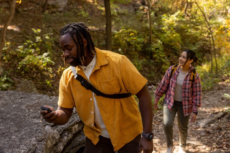
One reason identified for an increasing number of hillwalkers being rescued – and a rash of negative newspaper headlines – is an over-reliance on smartphone apps for navigation.
The Guardian reported: ‘Hill walkers have been warned not to use smartphone apps to navigate in the Scottish mountains after the police had to rescue 16 people who got lost in the Cairngorms.’
The group had, according to the newspaper, relied entirely on a smartphone for navigation.
Dave Tate and his walking partner Cheryl Leech, who got lost in bad weather on Scafell Pike in a wet, cold summer, freely admitted their errors of judgement.
Tate said: “We were naïve … Even when I got a mobile phone signal the GPS, maps and compass were rendered useless by Mother Nature.”
A thorough knowledge of how to use a map and compass is a basic for those who enjoy walking in the hills and, it has to be admitted, plenty of guides, climbers and hill walkers use smartphone apps routinely. But handheld GPS units are gaining expert plaudits for accuracy and reliability.

A Garmin handheld GPS system has several advantages over a smartphone
A smartphone antenna is only a third of the size of a GPS handset, so the information can take longer to obtain and may not be as accurate. A dedicated GPS handheld device is also more robust than a phone and less vulnerable to getting wet or being dropped.
Long battery life
There is also the issue of battery life. Cold temperatures can affect the performance of a smartphone battery and turning on the GPS function uses up a lot of power.
Advances in technology do not replace basic skills, proper equipment and common sense, but they are a great addition to the range of navigational aids for travelling safely in the mountains.
Garmin Outdoor Rugged GPS Devices
Garmin offers a range of rugged handheld GPS products equipped with advanced sensors and wireless connectivity and featuring sunlight-readable colour screen, barometric altimeter, 3 axis compass and preloaded maps of Europe including Ordnance Survey mapping for Great Britain.
Waypoints, tracks and routes
A comprehensive set of navigation features enables you to use waypoints, tracks and routes to navigate with confidence off the beaten track. Then, when you need to find your way safely home, TracBack will guide you.
By connecting the GPSMap 64s to your smartphone, for example, you can share your position through Live Tracking using Garmin Connect with family and friends. Smart Notifications allow you to wirelessly receive email, texts and alerts from your compatible smartphone.
Fully charged, the units can last for up to 25 hours, giving you sufficient power reserve for a day trip as well as unexpected holdups.
Garmin BaseCamp Trip Planning Software
Garmin’s free trip planning software, BaseCamp, lets you view and organise maps, waypoints, routes and tracks. It even allows you to tell the story of your last outdoor experience in an impressive new way by creating Garmin Adventures that you can easily share with friends, family or fellow explorers.
BaseCamp displays topographic map data in 2-D or 3-D on your computer screen, including contour lines and elevation profiles.
Learn more more about Garmin handheld GPS navigation aids, including GPSMAP64/64s/64st (from £229.99), Oregon 600/650/650t (from £319.99) or the Montana 600/680/680t (from £419.99).