
Clarkson’s Trail hits Morocco
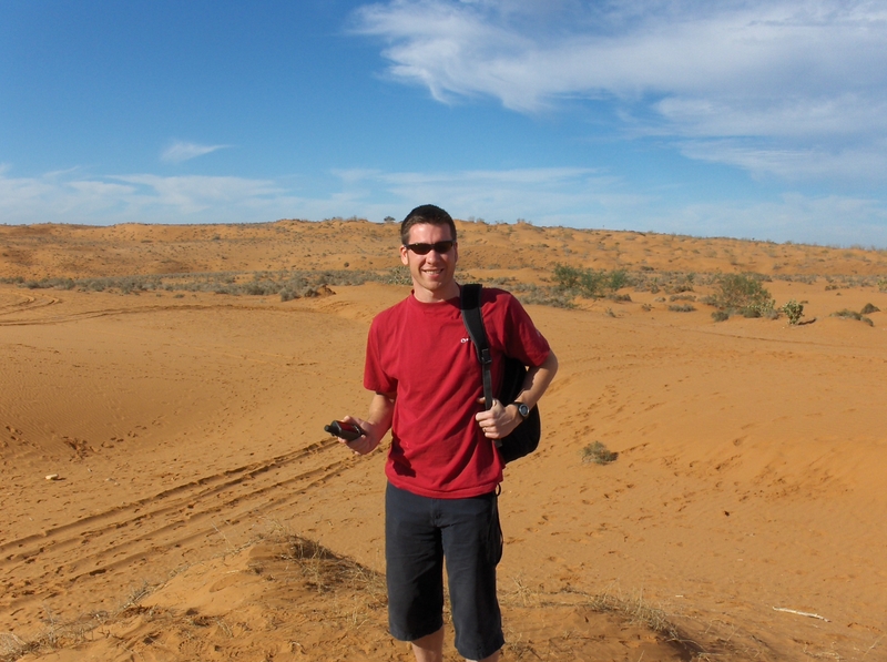
 During a week off from serving the British running and outdoor communities I headed out to Morocco and into the Western Sahara for a week.
With just sand dunes for triangulation and very few other features my GPSMAP 60CSx came in very useful when trying to work out where I was and where I needed to get to.
Using the Merchich map datum to work with local maps I was able to navigate through the sand dunes and mountains of the Western Sahara in Morocco. The GPSMAP 60CSx consistently provided accuracy to 4 metres and allowed us to get back to our 4×4’s before night fall. Some amazing terrain though – check out the shots. 


