Garmin® introduces new additions to the Oregon handheld Family
Garmin the global leader in satellite navigation is pleased to announce the Oregon 450 and Oregon 450t touchscreen GPS devices, the newest of Garmin’s outdoor handhelds.
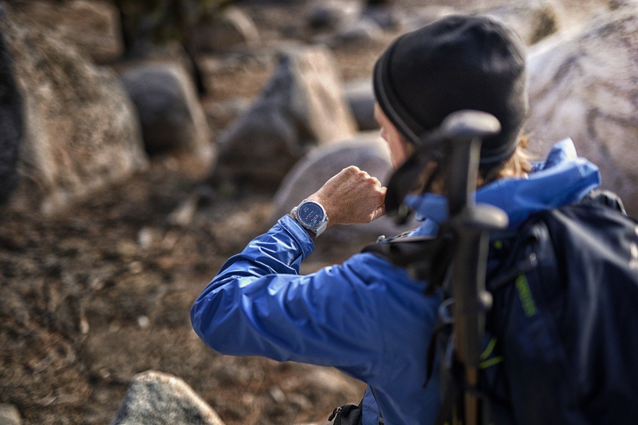
The Oregon 450 and 450t boast next generation touchscreen technology, with a bright 3” colour display, which is perfect for use in all conditions. Responsive to the touch, yet resistant to the elements, these rugged devices are also waterproof and glove-friendly.
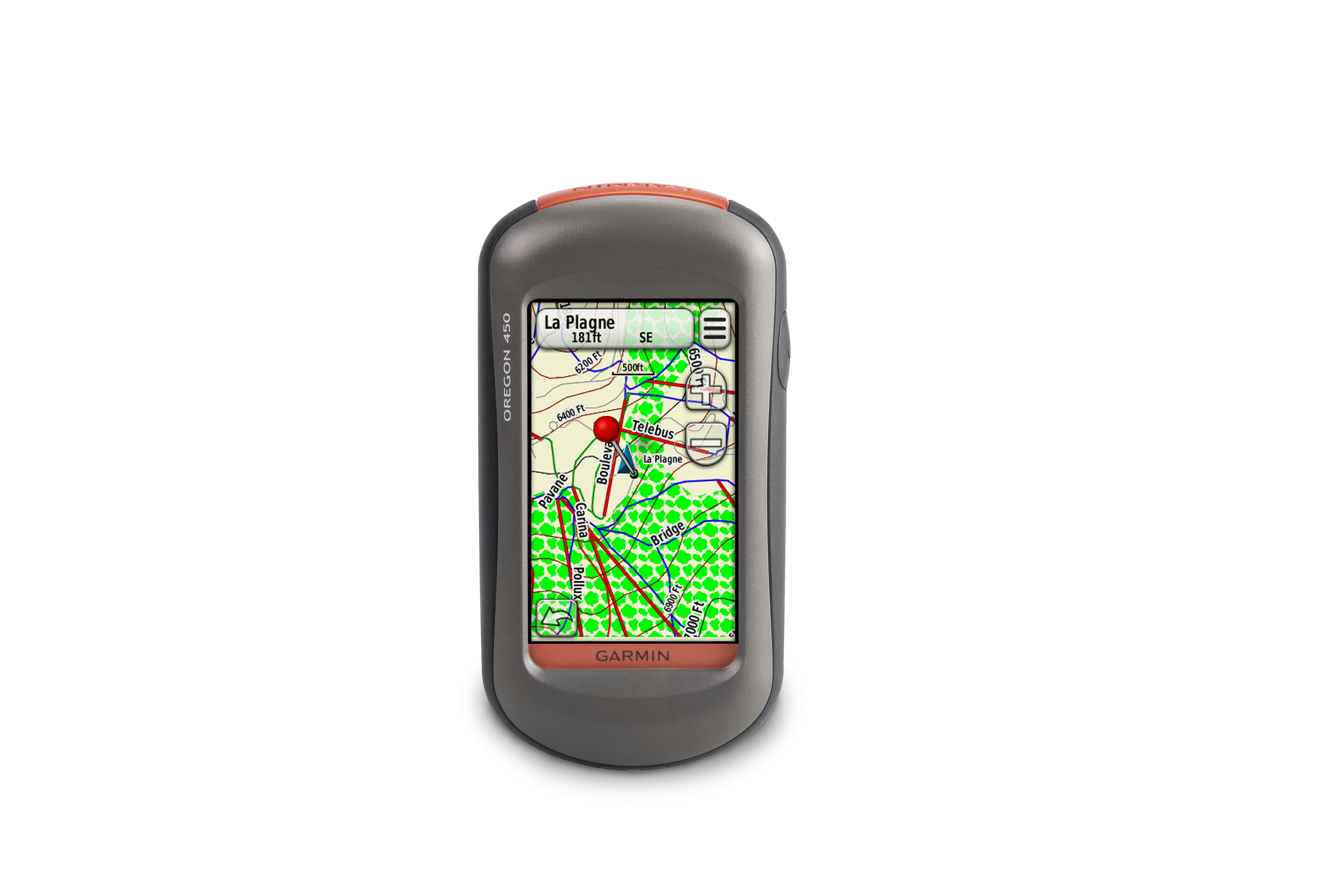
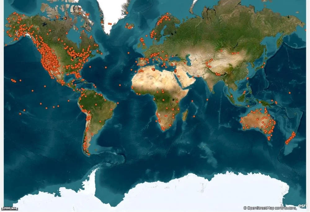
The Oregon 450 and 450t now bring more mapping than ever to your fingertips. Already compatible with Garmin GB Discoverer OS mapping, the 450 / 450t now have Garmin Custom Maps feature, allowing you to display any to-scale printed or electronic maps directly on your device www.garmin.com/CustomMaps. And, your experiences will live on long after the activity has ended thanks to Garmin Connect, because once you've finished your expedition, you can upload, store and share it on our free-to-join online community, which already boasts more than 17 million activities.
Andrew Silver Outdoor Product Manager for Garmin said: “The Oregon 450 and Oregon 450t offer fast, seamless map redraw and unprecedented mapping versatility for the ultimate in outdoors navigation.
“The new customisable dashboard along with a super bright display, bring together all the elements that are important for all of your adventures and activities.”
User-definable dashboards allow customisation of the information viewed on selected screens. This ensures data that is important to the individual is displayed when it is needed most. For example a user can now view compass data on the map page, or combine elevation and battery level information with geocaching.
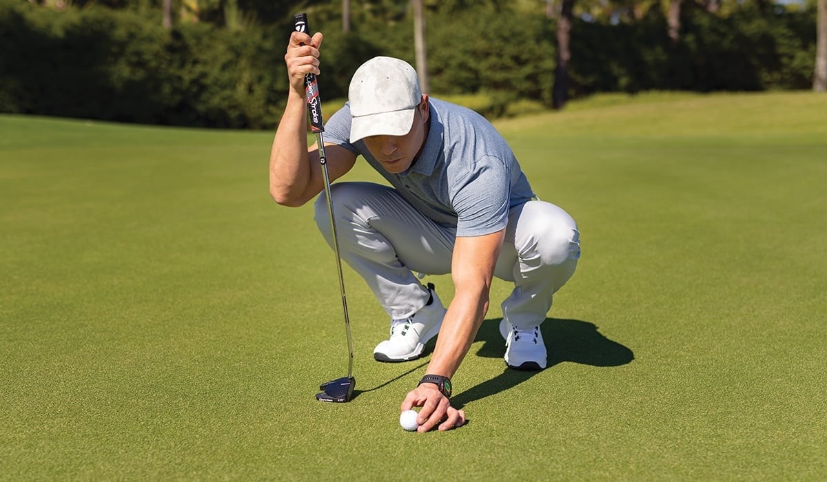
The Oregon 450, 450t also include enhanced track navigation, which is perfect for hikers, cyclists and trail runners. When navigating to a destination on an active track, users will see the changes in elevation ahead of them as well as where they’ve been. Waypoints and other key locations along the active route – such as start, end, high and low elevation points – now appear on the map and active route pages.
The new Oregon units also include a barometric altimeter, paperless geocaching and wireless exchange of tracks, waypoints, routes and geocaches with other compatible Oregon, Dakota, Colorado® and Foretrex® devices. With high-speed USB for faster map transfers with a computer, photo navigation and the 3-axis tilt-compensated electronic compass, which shows heading even when standing still without the need to hold it level.
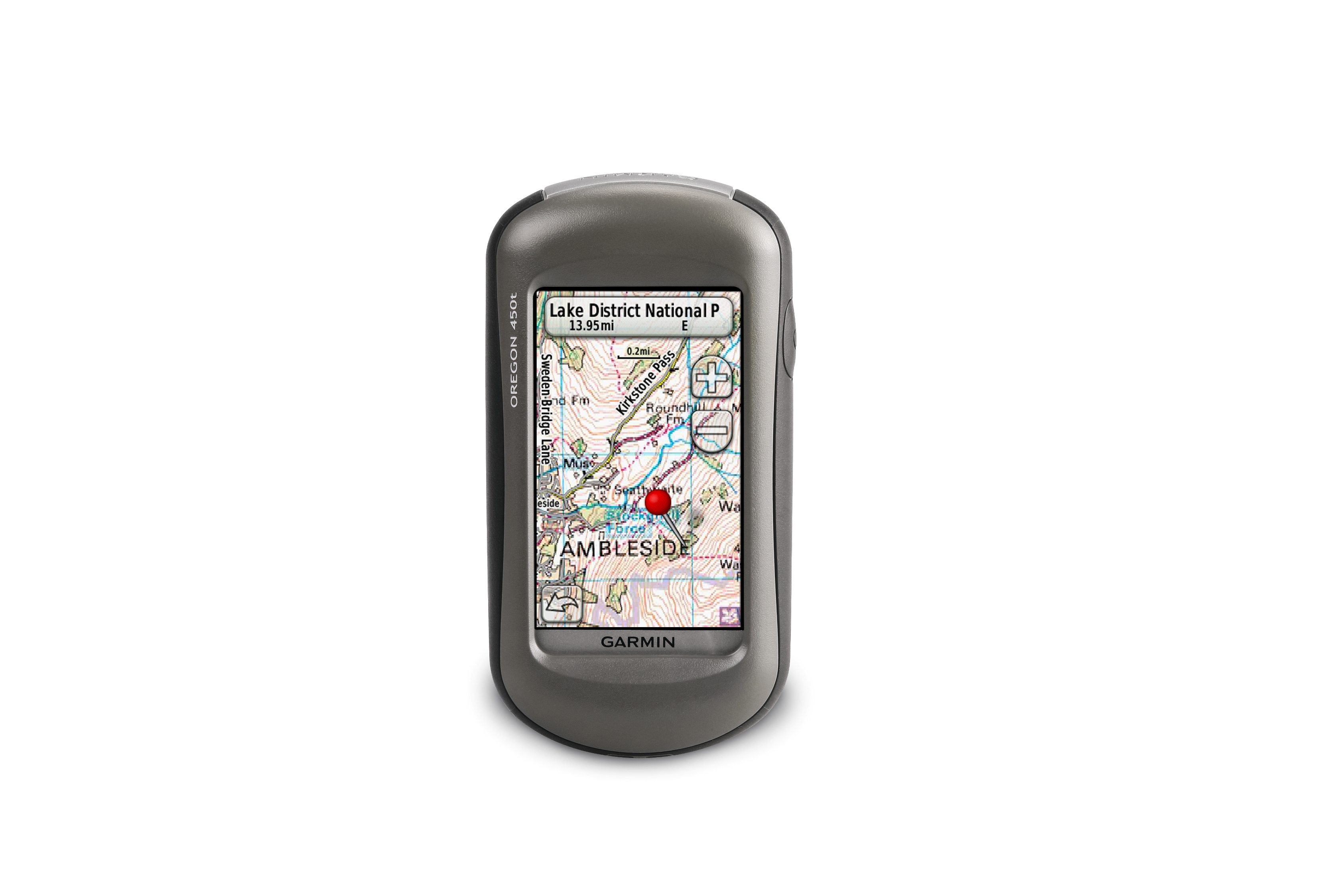
Both handhelds boast a worldwide shaded relief basemap and state-of-the-art 3D elevation perspective – the Oregon 450t even adds preloaded recreational maps for Europe. In addition, there is the ability to search for points of interest by name or proximity to a location and view descriptive details for terrain contours, topo elevations, summits and geographical points.
The Oregon 450 and Oregon 450t last up to 16 hours on two AA batteries. Each device has a high-sensitivity GPS receiver with HotFixTM to quickly calculate position. The new Oregon models have 500 MB of internal memory and a microSD™ card for optional data, you can store up to 2,000 waypoints, 200 routes, 5,000 caches and a tracklog of up to 10,000 points and 200 saved tracks.
Oregon 450t and Oregon 450 are the latest breakthroughs from Garmin, which has spent 20 years using technology and innovation to enhance users’ lives, making Garmin a household name in the automotive, aviation, marine, wireless, outdoor and fitness industries.
For more information, features, pricing and availability, go to www.garmin.co.uk
About Garmin
The global leader in satellite navigation, Garmin Ltd. and its subsidiaries have designed, manufactured, marketed and sold navigation, communication and information devices and applications since 1989 – most of which are enabled by GPS technology. Garmin’s products serve automotive, mobile, wireless, outdoor recreation, marine, aviation, and OEM applications. Garmin Ltd. is incorporated in the Cayman Islands, and its principal subsidiaries are located in the United States, Taiwan and the United Kingdom. For more information visit Garmin's media centre at www.garmin.co.uk/mediacentre. Garmin is a registered trademark of Garmin Ltd. or its subsidiaries. All other brands, product names, company names, trademarks and service marks are the properties of their respective owners. All rights reserved.
Notice on forward-looking statements:
This release includes forward-looking statements regarding Garmin Ltd. and its business. All statements regarding the company’s future product introductions are forward-looking statements. Such statements are based on management's current expectations. The forward-looking events and circumstances discussed in this release may not occur and actual results could differ materially as a result of known and unknown risk factors and uncertainties affecting Garmin, including, but not limited to, the risk factors listed in the Annual Report on Form 10-K for the year ended December 29, 2007 filed by Garmin with the Securities and Exchange Commission (Commission file number 000-31983). A copy of Garmin’s Form 10-K can be downloaded at www.garmin.com/aboutGarmin/invRelations/finReports.html. No forward-looking statement can be guaranteed. Forward-looking statements speak only as of the date on which they are made and Garmin undertakes no obligation to publicly update or revise any forward-looking statement, whether as a result of new information, future events, or otherwise.